Grisons · Switzerland
San Bernardino Pass
13Rheinwald to San Bernardino
An old Alpine crossing beside its motorway tunnel.
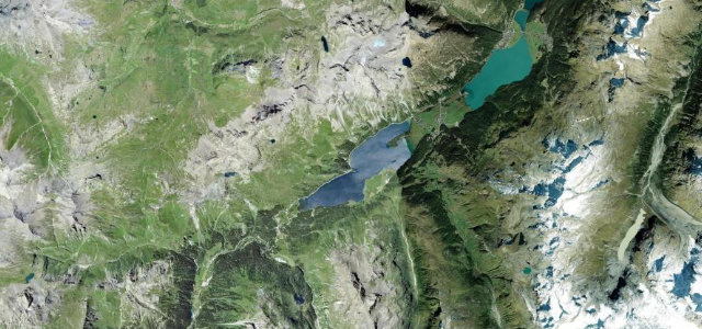
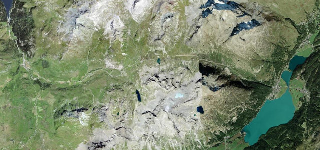
The Hauptstrasse 13 over the San Bernardino Pass at 2,066 m links the Hinterrhein and Mesolcina valleys, the original pass road now a quiet, sweeping alternative to the motorway tunnel below. Flowing hairpins and lake-dotted heights; mind the cyclists, motorbikes, and snow that closes it in winter.
Where it runs9.5 mi · point to point
Navigate to the start: Apple Maps · Google Maps
Character
More hairpins than 9 in 10 roads · the most hairpins in Switzerland, by our count in the catalogue.
Corners
busiest around mile 1Elevation
under 4%4–8%over 8%1,615.7 – 2,070.2 mFrom the road
Points of interest2 stops
- Passo del San BernardinoViewpoint5.0 mi in
- Ponte Vittorio EmanueleLandmark7.5 mi in
Hazards
- Cyclists and motorbikes
- Closed in winter
- Quick weather at the top
Is San Bernardino Pass open? Typical season and live summit weather ›
Sources
“The road to the summit is totally paved but very winding, with more than 40 hairpin turns.”
Verified route: mapped from real road geometry and fact-checked by a human editor. How roads get checked
Driving the San Bernardino Pass: quick answers
How long does it take to drive the San Bernardino Pass?
How difficult is the San Bernardino Pass to drive?
When is the best time to drive the San Bernardino Pass?
Nearby roads
The closest great drives to San Bernardino Pass.