Grisons · Switzerland
Maloja Pass
3Surlej to Casaccia
A wall of tight hairpins out of the Engadin.
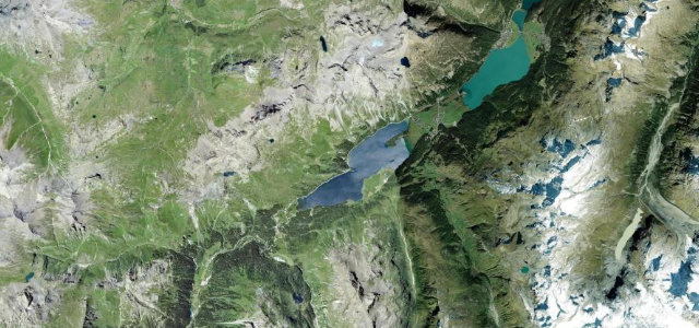
The Maloja Pass at 1,815 m drops off the lip of the Upper Engadin in a dramatic stack of hairpins toward the Val Bregaglia and Italy. The climb from the Italian side is one of the most photographed switchback walls in the Alps; take the bends slowly and watch for coaches and cyclists.
Where it runs10.5 mi · point to point
SurlejStart · Grisons
CasacciaEnd · Grisons
Navigate to the start: Apple Maps · Google Maps
Character
Corners40bends
Tightness7of 10
Max gradient10%≈ 1-in-10
Hairpins14tight bends
Descent545 mtotal descent
Summit1,829.5 mhighest point of the line · 6,002 ft
Corners
busiest around mile 7Elevation
under 4%4–8%over 8%1,440.4 – 1,829.5 mFrom the road
Points of interest3 stops
- Silvaplana FrattaViewpoint0.2 mi in
- Maloja PassViewpoint6.7 mi in
- ChastèLandmark3.1 mi in
Hazards
- Tight stacked hairpins
- Coaches on the bends
- Cyclists in numbers
Sources
“It is an experience not for the fainthearted with lots of hairpin bends.”
Verified route: mapped from real road geometry and fact-checked by a human editor. How roads get checked
Driving the Maloja Pass: quick answers
How long does it take to drive the Maloja Pass?
Maloja Pass runs 10.5 miles (17 km) and takes about 23 min to drive without stops.
How difficult is the Maloja Pass to drive?
We rate it demanding: 40 corners including 14 hairpins, a maximum gradient of 10%, and a tightness of 7 out of 10.
When is the best time to drive the Maloja Pass?
Summer and Autumn are best.
Nearby roads
The closest great drives to Maloja Pass.
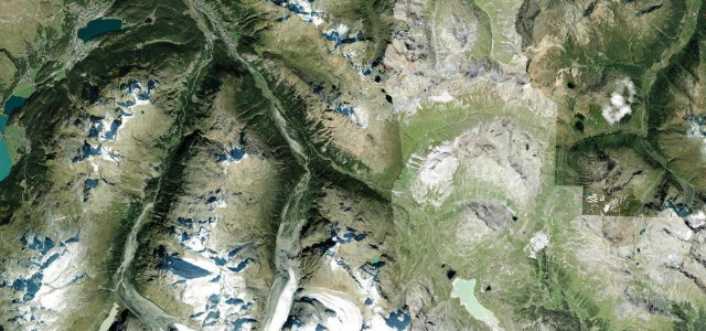
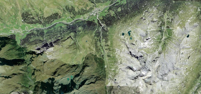
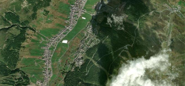
Maloja Pass
DirectionsGet the app