Grisons · Switzerland
Passo del Bernina
29Pontresina to Poschiavo
A high glacier pass between the Engadin and Valtellina.
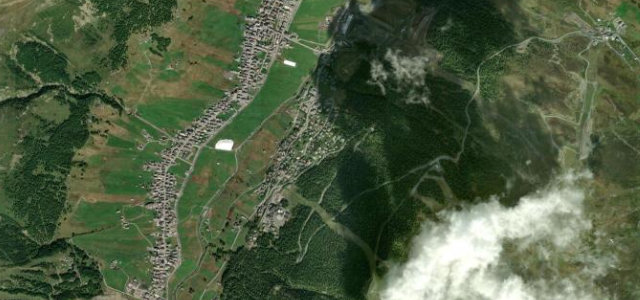
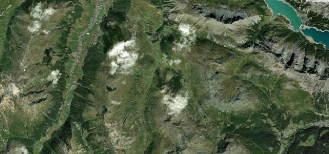
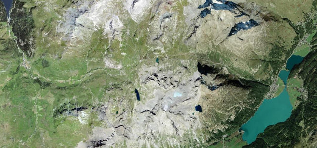
The Bernina Pass at 2,328 m carries the road from Pontresina past glacier-fed lakes toward Poschiavo and Italy, shadowed by the railway that’s a UNESCO World Heritage line. It is high, open driving with weather to match the altitude: old snow can sit beside the road deep into spring, the summit air asks for an extra layer, and the trains have right of way where the tracks cross the tarmac.
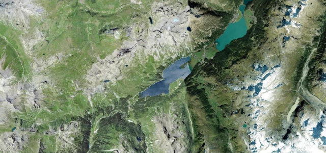
Above the treeline the hairpins fall away and it’s all long, sweeping arcs, past the milky turquoise of Lago Bianco with the Bernina railway running alongside.
Why we picked it
Scenery
Best seasons
In these collections
In these guides
Where it runs30.3 mi · point to point
Navigate to the start: Apple Maps · Google Maps
Character
Corners
busiest around mile 13Elevation
under 4%4–8%over 8%545.3 – 2,325.7 mFrom the road
Points of interest3 stops
- RöntgenplatzViewpoint2.4 mi in
- Passo del BerninaViewpoint11 mi in
- MontebellokurveViewpoint5.2 mi in
Hazards
- Altitude weather and late snow
- Railway crossings
- Glare off the lakes
Sources
“The whole area is worth spending at least a week for serious drivers”
Verified route: mapped from real road geometry and fact-checked by a human editor. How roads get checked
Driving the Passo del Bernina: quick answers
How long does it take to drive the Passo del Bernina?
How difficult is the Passo del Bernina to drive?
When is the best time to drive the Passo del Bernina?
Nearby roads
The closest great drives to Passo del Bernina.