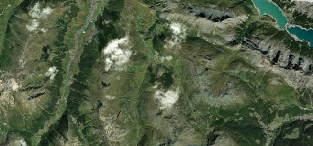
Lombardy · Italy
Passo del Foscagno
SS301Valdidentro to Livigno
The high pass guarding the duty-free enclave of Livigno.
The SS301 climbs the Passo del Foscagno above 2,200 m on the way to the remote, duty-free valley of Livigno near the Swiss border, an open, high road of long ramps and big mountain views. Mind the customs checks, the altitude, and snow and ice outside the warmer months.
Scenery
MountainValley
Best seasons
SpringSummerAutumn
In these collections
In these guides
Where it runs10.0 mi · point to point
ValdidentroStart · Lombardy
LivignoEnd · Lombardy
Navigate to the start: Apple Maps · Google Maps
Character
Corners34bends
Tightness5of 10
Max gradient9%≈ 1-in-11
Hairpins4tight bends
Descent660 mtotal descent
Summit2,287.2 mhighest point of the line · 7,504 ft
Corners
busiest around mile 2Elevation
under 4%4–8%over 8%1,815.5 – 2,287.2 mFrom the road
Points of interest3 stops
- Foscagno PassViewpoint1.7 mi in
- Passo EiraViewpoint6.0 mi in
- Cacciabombardiere di MottolinoLandmark6.8 mi in
Hazards
- Snow and ice outside summer
- Customs checks
- High altitude
Sources
“The Ultimate Alpine Driving Adventure”
Verified route: mapped from real road geometry and fact-checked by a human editor. How roads get checked
Driving the Passo del Foscagno: quick answers
How long does it take to drive the Passo del Foscagno?
Passo del Foscagno runs 10.0 miles (16 km) and takes about 20 min to drive without stops.
How difficult is the Passo del Foscagno to drive?
We rate it moderate: 34 corners including 4 hairpins, a maximum gradient of 9%, and a tightness of 5 out of 10.
When is the best time to drive the Passo del Foscagno?
Spring and Summer and Autumn are best.
Nearby roads
The closest great drives to Passo del Foscagno.
Passo del Foscagno
DirectionsGet the app