Lombardy · Italy
Forcola di Livigno
Livigno to Forcola di Livigno
A 2315 m border pass linking Livigno to the Bernina, long straights through a craggy glacier-rimmed valley.
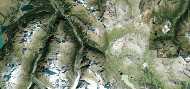
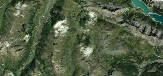
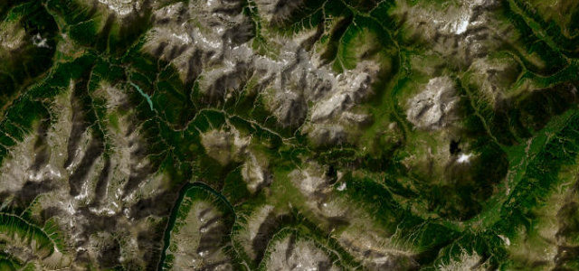
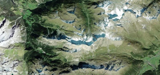
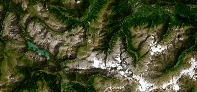
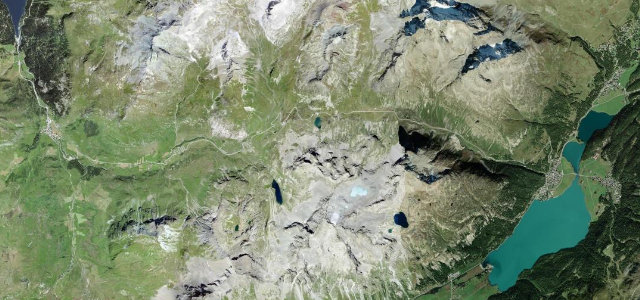
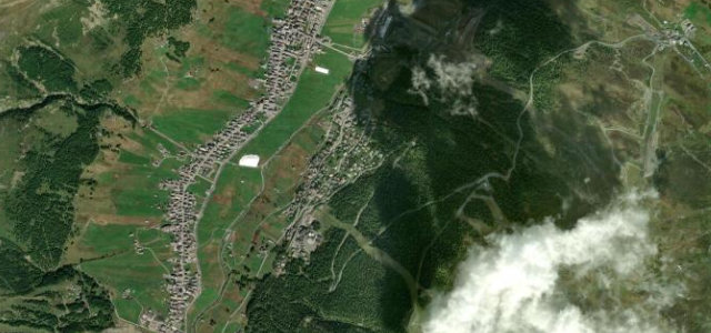
The SS301 climbs from the high duty-free town of Livigno toward the Forcola di Livigno, a 2315 m pass on the Italian-Swiss border that connects onward to the Bernina Pass and St Moritz. The Italian side has few hairpins, instead running as long straights and gentle ramps up a dramatic open valley hemmed by grey craggy peaks and glaciers, narrower and quieter than the neighbouring Bernina. It is a short-season alpine link, usually open only from around mid-June into autumn, and a favourite of cyclists chaining together the passes around Livigno. Mind the very short opening window with snow closing it most of the year, the high altitude and rapid weather changes, and the narrow exposed carriageway near the summit.
Scenery
Best seasons
In these collections
In these guides
Where it runs8.8 mi · point to point
Navigate to the start: Apple Maps · Google Maps
Character
Corners
busiest around mile 9Elevation
under 4%4–8%over 8%1,815.7 – 2,308.2 mFrom the road
Points of interest2 stops
- Mus! – Museo di Livigno e TrepalleLandmarkat the start
- Tea del PlanFood and drinkat the start
Hazards
- Short opening window, snow-closed most of the year
- High altitude and rapid weather changes
- Narrow exposed carriageway near the summit
Is Forcola di Livigno open? Typical season and live summit weather ›
Sources
“The Italian side features a few long straights and lacks hairpin bends, while the Swiss side offers a more tortuous drive.”
Verified route: mapped from real road geometry and fact-checked by a human editor. How roads get checked
Driving the Forcola di Livigno: quick answers
How long does it take to drive the Forcola di Livigno?
How difficult is the Forcola di Livigno to drive?
When is the best time to drive the Forcola di Livigno?
Nearby roads
The closest great drives to Forcola di Livigno.