Grisons · Switzerland
Julier Pass
3Surlej to Surses
An ancient, fast Roman pass into the Engadin.
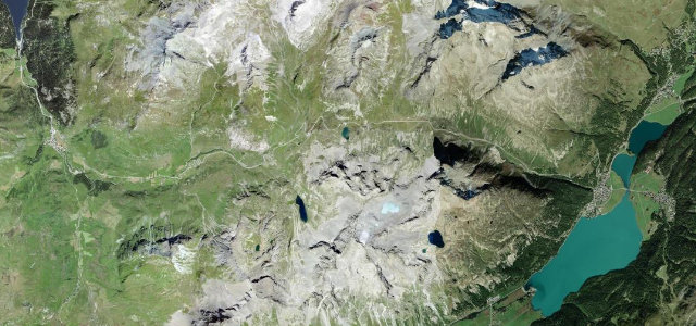
The Julier Pass at 2,284 m is one of the oldest and most reliable ways into the Engadin, used since Roman times, linking Bivio and Silvaplana across a high, open landscape. Wide and fast, usually kept open through winter; mind the cyclists, the weather at the top, and the snow on the shaded northern side.
Where it runs9.8 mi · point to point
SurlejStart · Grisons
SursesEnd · Grisons
Navigate to the start: Apple Maps · Google Maps
Character
Corners34bends
Tightness5of 10
Max gradient8%≈ 1-in-13
Hairpins9tight bends
Climb489 mtotal ascent
Summit2,289.8 mhighest point of the line · 7,512 ft
Corners
busiest around mile 8Elevation
under 4%4–8%over 8%1,801.1 – 2,289.8 mFrom the road
Points of interest3 stops
- ClavanövsViewpoint1.3 mi in
- JulierpassViewpoint5.0 mi in
- Silvaplana FrattaViewpointat the start
Hazards
- Weather at the top
- Cyclists on the climbs
- Snow on the shaded side
Sources
“the extreme beauty of the surroundings, combined with the mixture of flat sections and tight bends, create a superb drivers' road all the way to the Pass itself”
Verified route: mapped from real road geometry and fact-checked by a human editor. How roads get checked
Driving the Julier Pass: quick answers
How long does it take to drive the Julier Pass?
Julier Pass runs 9.8 miles (15.8 km) and takes about 20 min to drive without stops.
How difficult is the Julier Pass to drive?
We rate it demanding: 34 corners including 9 hairpins, a maximum gradient of 8%, and a tightness of 5 out of 10.
When is the best time to drive the Julier Pass?
Summer and Autumn are best.
Nearby roads
The closest great drives to Julier Pass.
Julier Pass
DirectionsGet the app