Grisons · Switzerland
Splügen Pass
567Splügen to Madesimo
Historic Graubünden-to-Italy pass with stacked hairpins and galleries.
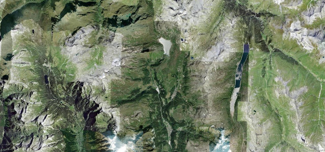
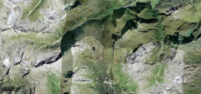
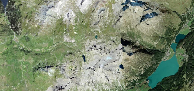
The Splügen Pass (2,113 m) climbs from the village of Splügen in the Hinterrhein valley on around twenty Swiss-side hairpins to the Italian border, passing an 1843 avalanche gallery on the Swiss side just below the summit before continuing down to Chiavenna with stacked tunnels. The northern Swiss ramp is roughly 9 km with a maximum gradient near 13%, climbing around twenty hairpins to the border, with some fifty more stacked on the Italian descent toward Chiavenna. Hazards include narrow unsignposted hairpins, dark unlit galleries on the Italian descent, livestock on the road and a long winter closure.
Where it runs5.4 mi · point to point
Navigate to the start: Apple Maps · Google Maps
Character
Corners
busiest around mile 4Elevation
under 4%4–8%over 8%1,458.7 – 2,118.7 mFrom the road
Points of interest1 stop
- Passo dello SplugaViewpoint5.4 mi in
Hazards
- Narrow, often unsignposted hairpins
- Long winter closure, roughly late November to early May
- Livestock on the road and slippery when wet
Is Splügen Pass open? Typical season and live summit weather ›
Sources
“It's a challenging and rewarding road to drive. This is a stunning road that twists and turns ever upwards but also has several long straights and sweeping curves.”
Verified route: mapped from real road geometry and fact-checked by a human editor. How roads get checked
Driving the Splügen Pass: quick answers
How long does it take to drive the Splügen Pass?
How difficult is the Splügen Pass to drive?
When is the best time to drive the Splügen Pass?
Nearby roads
The closest great drives to Splügen Pass.