California · United States
Palms to Pines Scenic Byway
CA 74Palm Desert to Mountain Center
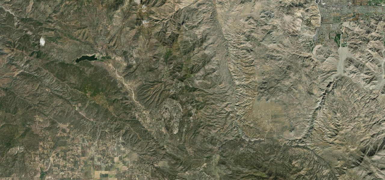
CA 74 climbs out of Palm Desert through the seven switchbacks of Seven Level Hill, crosses the Santa Rosa Mountains and Garner Valley, and reaches the pines at Mountain Center after about 33 miles.
The drive starts just beyond the Santa Rosa and San Jacinto Mountains National Monument Visitor Center, about four miles south of Highway 111 in Palm Desert, and climbs at once through the seven switchbacks of Seven Level Hill, completed in June 1932. The Coachella Valley Vista Point looks back over the valley and the Indio Hills, and the desert plants give way to small pinyon pines as the road climbs. It passes the Cahuilla Tewanet vista point, 9.9 miles up from the Visitor Center, and the community of Pinyon Pines before crossing the Santa Rosa Indian Reservation and Santa Rosa Summit. The road then runs down to the junction with CA 371, where the Paradise Valley Cafe stands on the corner, and follows Garner Valley, a large valley with ranching and some farming, before a last short climb to Mountain Center. It ends at the junction with CA 243, which turns north to Idyllwild and Banning. The whole route is a National Forest Scenic Byway.
Scenery
Best seasons
Featured in
In these collections
Palms to Pines Scenic Byway on the map32.8 mi · point to point
Navigate to the start: Apple Maps · Google Maps
Character
Corners
busiest around mile 1Elevation
under 4%4 to 8%over 8%308 to 1,523 mPoints of interest6 stops
- National Monument Visitor CenterSanta Rosa and San Jacinto Mountains National Monument visitor centre, about four miles south of Highway 111.at the start
- Coachella Valley VistaLarge viewing area over Seven Level Hill, with the Coachella Valley spread out below.4.6 mi in
- Cahuilla Tewanet Scenic OverlookRoadside vista point 9.9 miles up Highway 74 from the Visitor Center, with a small loop trail.9.9 mi in
- Santa Rosa SummitNamed pass on the road across the Santa Rosa Mountains, tagged at about 1,520 m in OpenStreetMap.19 mi in
- Paradise Valley CafeFamily cafe on the corner of Highway 74 and Highway 371.20 mi in
- Mountain Center CafeRestaurant beside the junction with Highway 243 at the end of the drive.33 mi in
Hazards
- Snow and ice on the higher sections after winter storms, chains sometimes required
- No guard rails along the whole length of the twisty sections
- Switchbacks are best avoided after dark
- Strong wind events with gusts around 55 mph
- Mobile signal is spotty along the byway
Sources
“Past the Visitor Center, the road winds its way uphill via a series of switchbacks, with vistas over the desert floor and an up close view of boulder masses and ocotillos and other local flora along the slopes.”
“At the bottom of the 74 there are switchbacks that are great for sportbikes and cruisers alike.”
“This scenic driving tour climbs from the desert through the Santa Rosa and San Jacinto Mountains, before descending again to the desert.”
Route traced from OpenStreetMap, with its stats measured from that line. How the roads are mapped
Driving the Palms to Pines Scenic Byway: quick answers
How long does it take to drive the Palms to Pines Scenic Byway?
How difficult is the Palms to Pines Scenic Byway to drive?
When is the best time to drive the Palms to Pines Scenic Byway?
Nearby roads
The closest great drives to Palms to Pines Scenic Byway.