California · United States
Death Valley Scenic Byway
CA 190Darwin turnoff to Furnace Creek
CA 190 drops about 3,500 feet in curves from the Darwin plateau to Panamint Valley, climbs to 4,956-foot Towne Pass, then falls about 5,000 feet to the floor of Death Valley and on to Furnace Creek, below sea level.
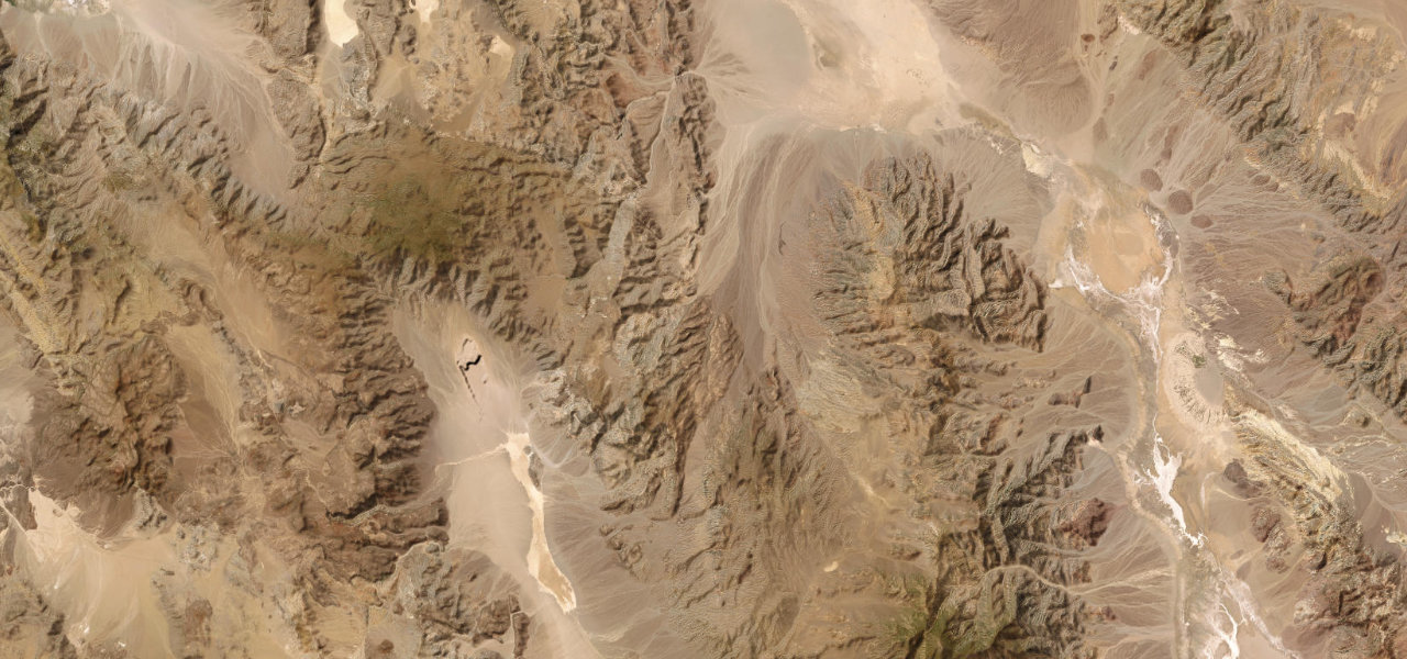
From the turnoff to Darwin on the plateau at about 5,000 feet, CA 190 enters Death Valley National Park and becomes curvier, dropping about 3,500 feet down the Inyo Mountains to the dry lake of Panamint Valley, past the pull-off at Father Crowley Vista Point above Rainbow Canyon. On the valley floor Panamint Springs Resort has a restaurant, a motel and the last fuel for many miles in either direction, and a long straight then crosses the valley before the road climbs to Towne Pass at 4,956 feet, about 14 miles from the resort. Beyond the pass the highway descends about 5,000 feet to the dry bed of Lake Manly and reaches Stovepipe Wells Village, just above sea level, where the Mesquite Flat sand dunes are a short walk from the road. From the North Highway junction the road turns south-east along the valley floor, below sea level, passing the Harmony Borax Works on the way to Furnace Creek. It is a National Scenic Byway, most of it lies inside the national park, and a park entrance fee applies.
Scenery
Best seasons
In these collections
Death Valley Scenic Byway on the map72.6 mi · point to point
Navigate to the start: Apple Maps · Google Maps
Character
Corners
busiest around mile 11Elevation
under 4%4 to 8%over 8%-73 to 1,604 mPoints of interest6 stops
- Father Crowley Vista PointPull-off above Rainbow Canyon, whose steep walls rise up to 1,000 feet.9.9 mi in
- Panamint Springs ResortRestaurant, motel and a fuel stop selling petrol and diesel on the western edge of Panamint Valley.18 mi in
- Towne PassSummit at 4,956 feet, with the road dropping about 5,000 feet beyond it.32 mi in
- Stovepipe Wells VillageBadwater Saloon and general store, with a fuel stop selling 87-octane petrol but no diesel.48 mi in
- Mesquite Flat Sand DunesDunes reached by a short walk north of the road, covering about 14 square miles.50 mi in
- Harmony Borax WorksRuins of the 1880s borax works, with an original 20-mule team wagon.71 mi in
Hazards
- Long steep grades either side of Towne Pass, with truck brake fires
- Narrow, serpentine road where single-car rollovers are the main danger
- Summer heat above 120°F, carry plenty of water
- Flash floods can close the road after thunderstorms
- Fuel only at Panamint Springs, Stovepipe Wells and Furnace Creek, and no mobile signal on most park roads
- National park entrance fee
See the typical season and live conditions for the high passes ›
Sources
“The big sign welcoming us to Death Valley is up on that plateau, at about 5,000 feet, followed by the 3,500-foot drop, on a deliciously curvy road down the east escarpment to Panamint Dry Lake.”
“Travel through sculpted hills, shifting sand dunes, and unique terrain that even dips below sea level.”
“Don’t miss Hwy 178 between Shoshone and Furnace Creek. Do Hwy 190 from Death Valley Junction to Lone Pine. Awesome!”
Route traced from OpenStreetMap, with its stats measured from that line. How the roads are mapped
Driving the Death Valley Scenic Byway: quick answers
How long does it take to drive the Death Valley Scenic Byway?
How difficult is the Death Valley Scenic Byway to drive?
When is the best time to drive the Death Valley Scenic Byway?
Nearby roads
The closest great drives to Death Valley Scenic Byway.