California · United States
Kings Canyon Scenic Byway
CA 180Grant Grove to Cedar Grove
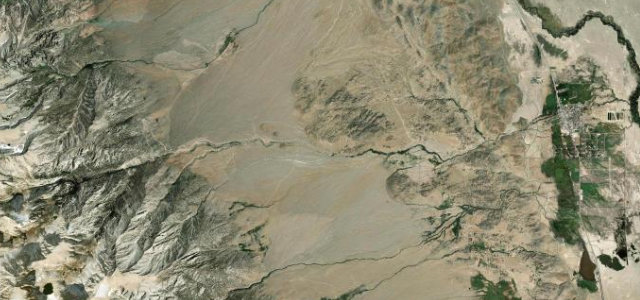
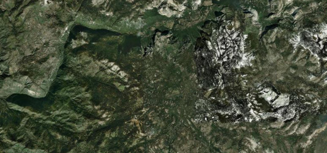
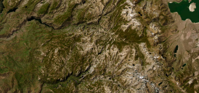
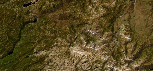
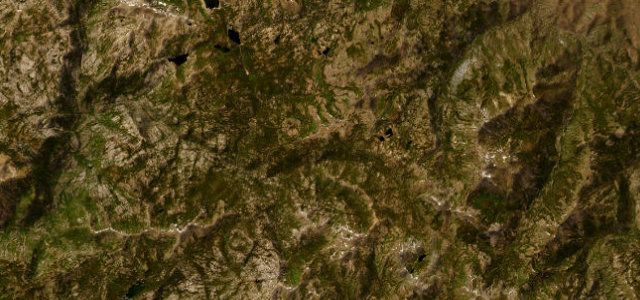
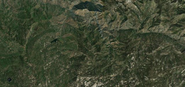
CA 180 carved into granite as it drops from Grant Grove into the deep glacial trench of Kings Canyon to Road’s End.
From the giant sequoias of Grant Grove the byway climbs briefly then plunges along ledges blasted into the canyon wall, with the Kings River thousands of feet below at Junction View and Yucca Point. It is the only road into one of the deepest canyons in North America, so it is a dead-end in and out rather than a through route, ending near Cedar Grove and Road’s End. The descent is the dramatic part: tight cliff-edge curves with limited shoulders and long drop-offs, easing into gentler riverside running on the canyon floor. The road is gated by snow and closed for much of winter. Mind sheer unguarded drop-offs on the descent, rockfall debris on the carriageway, and tight blind bends shared with cyclists and tour vehicles.
Scenery
Best seasons
In these collections
Where it runs26.9 mi · point to point
Navigate to the start: Apple Maps · Google Maps
Character
Corners
busiest around mile 15Elevation
under 4%4–8%over 8%933.3 – 2,085.6 mFrom the road
Points of interest3 stops
- Cherry GapViewpoint3.0 mi in
- McGee Vista PointViewpoint2.7 mi in
- Kings River Canyon Vista PointViewpoint11 mi in
Hazards
- Sheer unguarded drop-offs on the descent
- Rockfall debris on the road
- Tight blind bends shared with cyclists
Sources
“The Kings Canyon Scenic Byway is internationally significant for its unique scenic and geologic displays.”
Verified route: mapped from real road geometry and fact-checked by a human editor. How roads get checked
Driving the Kings Canyon Scenic Byway: quick answers
How long does it take to drive the Kings Canyon Scenic Byway?
How difficult is the Kings Canyon Scenic Byway to drive?
When is the best time to drive the Kings Canyon Scenic Byway?
Nearby roads
The closest great drives to Kings Canyon Scenic Byway.