California · United States
Ebbetts Pass
CA 4SR 4Markleeville to Bear Valley
A narrow, wild Sierra crossing with no centre line over the top.
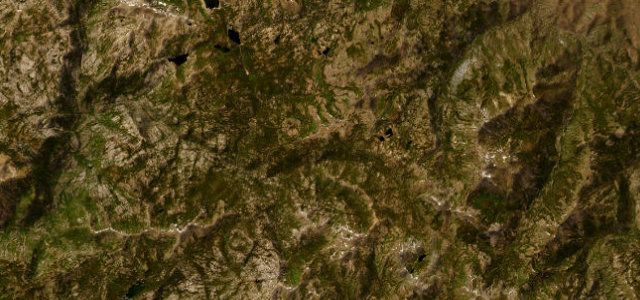
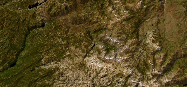
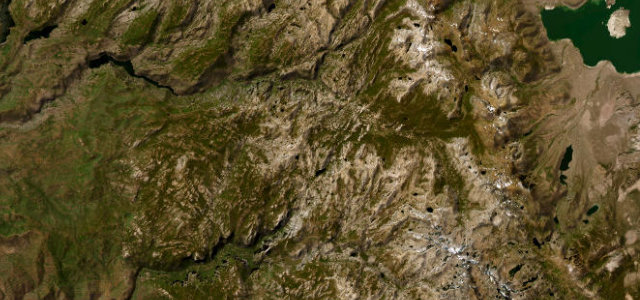
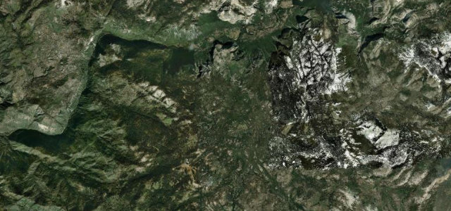
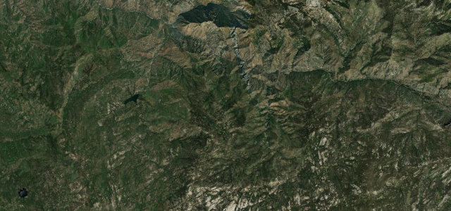
CA 4 over Ebbetts Pass is about as small and raw as a Sierra Nevada crossing gets, shrinking to a single lane with no centre line as it climbs past granite and alpine lakes near 8,700 ft. Snow shuts the pass for much of the year; when it is open, watch for oncoming cars on the single-lane stretches and for the drops that go unguarded.
Where it runs20.6 mi · point to point
MarkleevilleStart · California
Bear ValleyEnd · California
Navigate to the start: Apple Maps · Google Maps
Character
Corners40bends
Tightness7of 10
Max gradient12%≈ 1-in-8
Hairpins2tight bends
Climb1,085 mtotal ascent
Summit2,669.1 mhighest point of the line · 8,757 ft
Corners
busiest around mile 15Elevation
under 4%4–8%over 8%1,935.8 – 2,669.1 mPoints of interest3 stops
- Ebbetts PassViewpoint8.0 mi in
- Pacific Grade SummitViewpoint16 mi in
- Old JailLandmark0.6 mi in
Hazards
- Single-lane sections with oncoming traffic
- No barriers over drops
- Snow outside summer
Sources
“It is an idyllic drive for those who crave tight switchbacks, tiny hamlets, and multiple alpine vistas.”
Verified route: mapped from real road geometry and fact-checked by a human editor. How roads get checked
Driving the Ebbetts Pass: quick answers
How long does it take to drive the Ebbetts Pass?
Ebbetts Pass runs 20.6 miles (33 km) and takes about 45 min to drive without stops.
How difficult is the Ebbetts Pass to drive?
We rate it demanding: 40 corners including 2 hairpins, a maximum gradient of 12%, and a tightness of 7 out of 10.
When is the best time to drive the Ebbetts Pass?
Summer and Autumn are best.
Nearby roads
The closest great drives to Ebbetts Pass.
Ebbetts Pass
DirectionsGet the app