California · United States
Lassen Park Highway
CA 89Mineral to Manzanita Lake
A volcanic high road past steaming fumaroles and a lava peak.
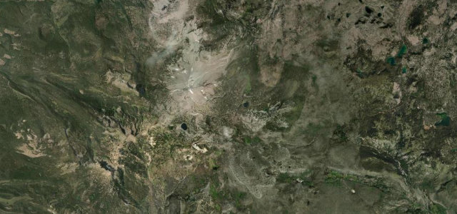
CA 89 winds through Lassen Volcanic National Park beneath Lassen Peak, climbing past steaming sulphur vents, boiling pools and old lava flows to over 8,500 ft. Open only in the warmer months; mind the altitude, the late-lying snow, and stopping sightseers.
Where it runs18.9 mi · point to point
MineralStart · California
Manzanita LakeEnd · California
Navigate to the start: Apple Maps · Google Maps
Character
Corners32bends
Tightness5of 10
Max gradient7%≈ 1-in-14
Hairpins1tight bends
Climb564 mtotal ascent
Summit2,594.9 mhighest point of the line · 8,513 ft
Corners
busiest around mile 4Elevation
under 4%4–8%over 8%1,950.2 – 2,594.9 mPoints of interest3 stops
- Emigrant PassViewpoint19 mi in
- Sulphur WorksLandmark0.9 mi in
- Upper Cascades ViewpointViewpoint13 mi in
Hazards
- Late-lying snow at altitude
- Stopping sightseers
- Sudden mountain weather
Sources
“The southern section of the highway is windy and includes a handful of switchbacks.”
Verified route: mapped from real road geometry and fact-checked by a human editor. How roads get checked
Driving the Lassen Park Highway: quick answers
How long does it take to drive the Lassen Park Highway?
Lassen Park Highway runs 18.9 miles (30 km) and takes about 38 min to drive without stops.
How difficult is the Lassen Park Highway to drive?
We rate it moderate: 32 corners including 1 hairpins, a maximum gradient of 7%, and a tightness of 5 out of 10.
When is the best time to drive the Lassen Park Highway?
Summer and Autumn are best.
Nearby roads
The closest great drives to Lassen Park Highway.
Lassen Park Highway
DirectionsGet the app