Oregon · United States
Crater Lake Rim Drive
Loop from Rim Village
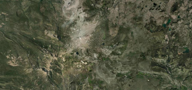
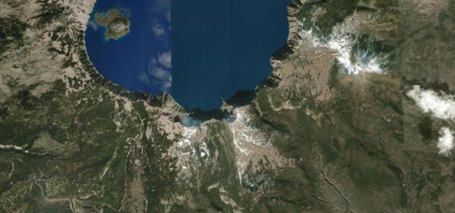
The high east rim of Crater Lake’s caldera drive, never dropping much below 6,500 ft, with more than two dozen viewpoints over water so blue it looks retouched. Snow shuts it for most of the year, which only sharpens the appetite.
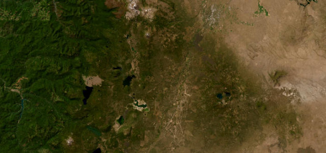
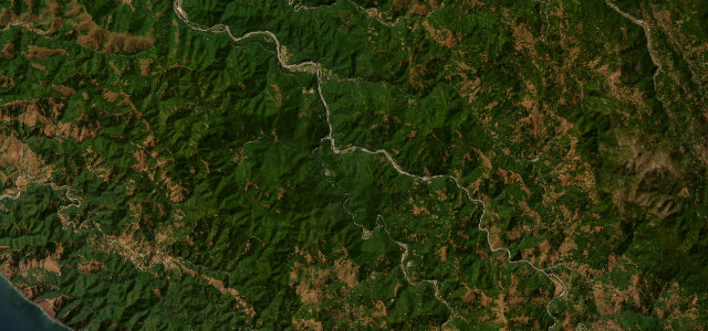
Rim Drive is a 33-mile loop following the caldera rim of Crater Lake in Oregon’s Cascade Range, sitting between about 6,500 and 7,900 ft with more than two dozen viewpoints over the deep blue lake. This stretch runs from Rim Village around the high east rim past Cloudcap Overlook, the highest paved point on the drive. The road closes through the long snowy winter and opens only in summer. Mind the seasonal closure, sheer caldera-edge pullouts, and snow lingering into early summer.
Where it runs15.7 mi · loop
Navigate to the start: Apple Maps · Google Maps
Character
Corners
busiest around mile 1Elevation
under 4%4–8%over 8%1,945.4 – 2,347.2 mPoints of interest3 stops
- Phantom Ship OverlookViewpoint11 mi in
- Victor ViewViewpoint13 mi in
- Pumice Castle OverlookViewpoint13 mi in
Hazards
- Winter-long closure
- Caldera-edge drop-offs
- Late-lying snow
Is Crater Lake Rim Drive open? Typical season and live summit weather ›
Sources
“the American Automobile Association has named Rim Drive as one of the "ten most beautiful roads in the United States".”
Verified route: mapped from real road geometry and fact-checked by a human editor. How roads get checked
Driving the Crater Lake Rim Drive: quick answers
How long does it take to drive the Crater Lake Rim Drive?
How difficult is the Crater Lake Rim Drive to drive?
When is the best time to drive the Crater Lake Rim Drive?
Nearby roads
The closest great drives to Crater Lake Rim Drive.