Washington · United States
Stevens Canyon Road
Paradise to Ohanapecosh
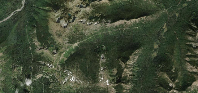
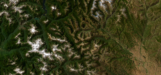
The park road linking Paradise with Ohanapecosh, hugging the canyon wall past waterfalls, glacial valleys and Reflection Lakes. Rainier looms over the whole thing, and the narrow shoulderless lanes make sure you’re paying attention.
Stevens Canyon Road links Paradise with the southeast park entrance inside Mount Rainier National Park. The narrow paved road winds past waterfalls, glacial valleys, and Reflection Lakes with views of the mountain. Mind the seasonal closure, narrow shoulderless lanes, and heavy summer traffic.
Where it runs18.9 mi · point to point
Navigate to the start: Apple Maps · Google Maps
Character
Corners
busiest around mile 18Elevation
under 4%4–8%over 8%663.5 – 1,492.7 mPoints of interest3 stops
- Inspiration PointViewpoint0.5 mi in
- Box CanyonViewpoint8.6 mi in
- Ruby FallsLandmarkat the start
Hazards
- Narrow lanes without shoulders
- Closed in winter by snow
- Heavy seasonal traffic
Is Stevens Canyon Road open? Typical season and live summit weather ›
Sources
“The route winds among valley-floor rainforest and uphill slopes; vistas of Puget Sound and the Cascade Range appear at numerous points along the way.”
Verified route: mapped from real road geometry and fact-checked by a human editor. How roads get checked
Driving the Stevens Canyon Road: quick answers
How long does it take to drive the Stevens Canyon Road?
How difficult is the Stevens Canyon Road to drive?
When is the best time to drive the Stevens Canyon Road?
Nearby roads
The closest great drives to Stevens Canyon Road.