Washington · United States
North Cascades Highway
WA 20Marblemount to Winthrop
A wild crossing of the jagged North Cascades.
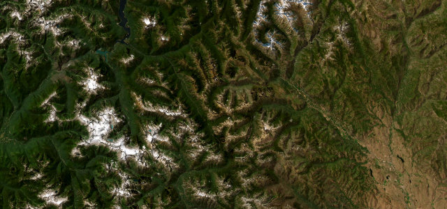
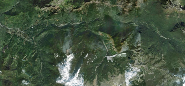
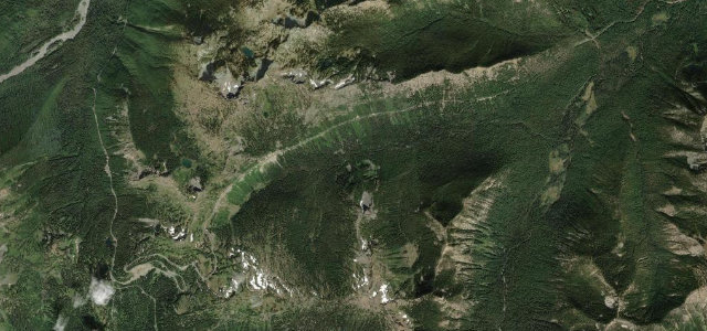
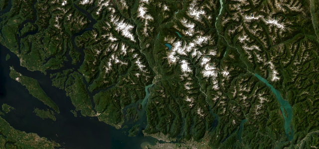
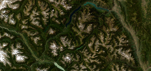
WA 20 climbs over Rainy and Washington Passes through the heart of the North Cascades, a road of granite spires, hanging glaciers and turquoise lakes with almost no towns along the way. The high section is closed by snow much of the year; mind the avalanche gates, the wildlife, and the long stretches without fuel.
Where it runs73.3 mi · point to point
MarblemountStart · Washington
WinthropEnd · Washington
Navigate to the start: Apple Maps · Google Maps
Character
Corners34bends
Tightness5of 10
Max gradient7%≈ 1-in-14
Climb2,040 mtotal ascent
Summit1,663.3 mhighest point of the line · 5,457 ft
Corners
busiest around mile 43Elevation
under 4%4–8%over 8%150.7 – 1,663.3 mFrom the road
Points of interest2 stops
- Diablo Lake OverlookViewpoint12 mi in
- Washington Pass OverlookViewpoint44 mi in
Hazards
- Closed by snow much of the year
- Long stretches without fuel
- Wildlife on the road
Is North Cascades Highway open? Typical season and live summit weather ›
Sources
“Of all the passes that traverse the Cascades, this is the most mountainous, with high hairpin turns and jaw-dropping vistas.”
Verified route: mapped from real road geometry and fact-checked by a human editor. How roads get checked
Driving the North Cascades Highway: quick answers
How long does it take to drive the North Cascades Highway?
North Cascades Highway runs 73.3 miles (118 km) and takes about 2 h 27 min to drive without stops.
How difficult is the North Cascades Highway to drive?
We rate it moderate: 34 corners, a maximum gradient of 7%, and a tightness of 5 out of 10.
When is the best time to drive the North Cascades Highway?
Summer and Autumn are best. The road closes seasonally over winter; check it has reopened before setting out.
Nearby roads
The closest great drives to North Cascades Highway.
North Cascades Highway
DirectionsGet the app