Washington · United States
Chinook Pass (Mather Memorial Parkway)
WA 410Cayuse Pass to American River (east of Chinook Pass)
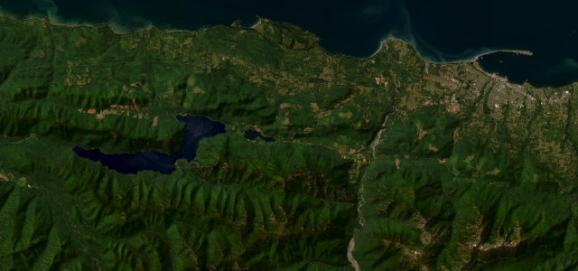
SR 410's All-American climb over the northeast shoulder of Mount Rainier, with the famous Tipsoo Lake hairpins at Chinook Pass.
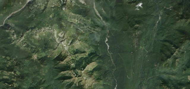
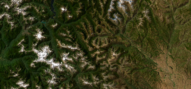
Branching east from Cayuse Pass, this stretch of SR 410 swings through a tight set of hairpins past the alpine tarn of Tipsoo Lake to crest Chinook Pass at 5,430 ft, where a log overpass marks the east gate of Mount Rainier National Park. The view of Rainier filling the windscreen on the approach is the reason people drive it. East of the summit the road unwinds in long sweeping descents along the American River, so the character shifts from technical switchbacks to flowing curves. It is a high pass, snowbound and gated shut from roughly November to late May. Mind a high-altitude summit prone to sudden weather, late-lying snow and rockfall on the cuttings, and slow RVs and tour traffic in peak summer.
Where it runs8.9 mi · point to point
Navigate to the start: Apple Maps · Google Maps
Character
Corners
busiest around mile 1Elevation
under 4%4–8%over 8%1,184.9 – 1,657.3 mPoints of interest3 stops
- Chinook PassViewpoint3.4 mi in
- Cayuse PassViewpointat the start
- Deadwood PeakViewpoint4.0 mi in
Hazards
- High-altitude summit weather and late-lying snow
- Rockfall on cut slopes
- Slow RV and tour traffic in summer
Sources
“the road is a delight to drive, with every kind of twist and turn”
Verified route: mapped from real road geometry and fact-checked by a human editor. How roads get checked
Driving the Chinook Pass (Mather Memorial Parkway): quick answers
How long does it take to drive the Chinook Pass (Mather Memorial Parkway)?
How difficult is the Chinook Pass (Mather Memorial Parkway) to drive?
When is the best time to drive the Chinook Pass (Mather Memorial Parkway)?
Nearby roads
The closest great drives to Chinook Pass (Mather Memorial Parkway).