Washington · United States
Mount Baker Highway
WA 542Glacier to Artist Point
Twenty-three miles ending at Artist Point, a summer-only dead end hung between the glaciers of Mount Baker and jagged Mount Shuksan.
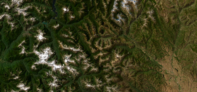
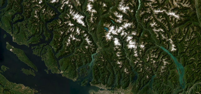
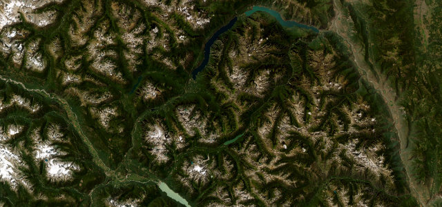
WA 542 runs up the valley to Mount Baker, climbing at the end to Artist Point between the glaciers of Mount Baker and the jagged Mount Shuksan, one of the great mountain views in the Pacific Northwest. The top is open only in summer; mind the heavy snowfall, the late-lying snow, and the dead-end turnaround.
Where it runs23.1 mi · point to point
GlacierStart · Washington
Artist PointEnd · Washington
Navigate to the start: Apple Maps · Google Maps
Character
Corners30bends
Tightness5of 10
Max gradient8%≈ 1-in-13
Hairpins8tight bends
Climb1,383 mtotal ascent
Summit1,536.3 mhighest point of the line · 5,040 ft
Corners
busiest around mile 22Elevation
under 4%4–8%over 8%275.9 – 1,536.3 mPoints of interest3 stops
- Nooksack Falls ViewpointViewpoint7.1 mi in
- Artist PointViewpoint23 mi in
- Austin PassViewpoint22 mi in
Hazards
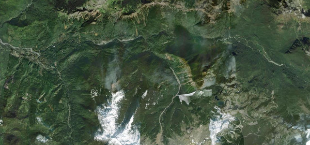
- Snow lingers into summer at the top
- Dead-end with turnaround traffic
- Fog and low cloud
Sources
“It's an extraordinary day trip packed with breathtaking scenery winding along the banks of the Nooksack River.”
Verified route: mapped from real road geometry and fact-checked by a human editor. How roads get checked
Driving the Mount Baker Highway: quick answers
How long does it take to drive the Mount Baker Highway?
Mount Baker Highway runs 23.1 miles (37 km) and takes about 46 min to drive without stops.
How difficult is the Mount Baker Highway to drive?
We rate it moderate: 30 corners including 8 hairpins, a maximum gradient of 8%, and a tightness of 5 out of 10.
When is the best time to drive the Mount Baker Highway?
Summer is best.
Nearby roads
The closest great drives to Mount Baker Highway.
Mount Baker Highway
DirectionsGet the app