British Columbia · Canada
Duffey Lake Road
BC 99Pemberton to Lillooet
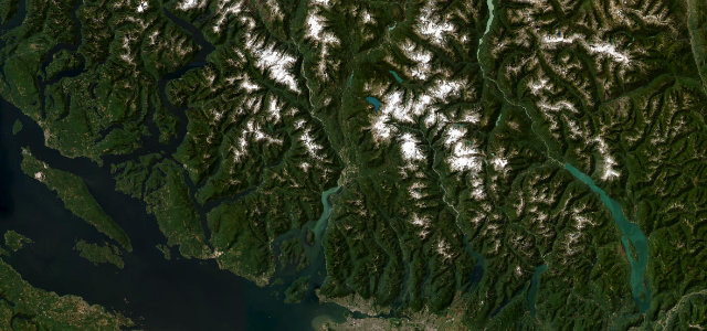
Paved only in 1991 and still without fuel along its 60 miles, dropping over Cayoosh Pass from coastal forest into the arid interior past Duffey and Seton lakes.
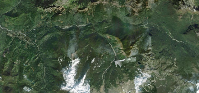
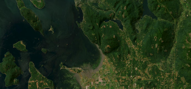
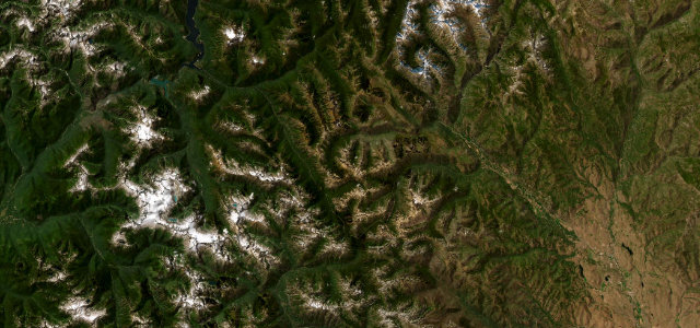
Paved only in 1991, this road crosses Cayoosh Pass at 1,275 metres, dropping from coastal forest into the arid interior past Duffey and Seton lakes. It is remote, with no fuel and patchy cell coverage along its length. Mind the steep hairpins, near-daily rockfall and high avalanche risk outside summer.
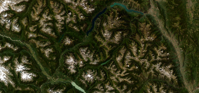
Where it runs60.5 mi · point to point
Navigate to the start: Apple Maps · Google Maps
Character
Corners
busiest around mile 55Elevation
under 4%4–8%over 8%201.6 – 1,288.2 mFrom the road
Points of interest3 stops
- Viewpoint Mount CurrieViewpointat the start
- Stl’akwViewpoint30 mi in
- Bridge of the 23 CamelsLandmark61 mi in
Hazards
- Rockfall
- Avalanche risk
- No fuel or reliable signal
- Steep hairpins
See the typical season and live conditions for the high passes ›
Sources
“It's a drive that nobody ever forgets for being a majestic and scenic as it is for its switchback turns and single lane bridges.”
Verified route: mapped from real road geometry and fact-checked by a human editor. How roads get checked
Driving the Duffey Lake Road: quick answers
How long does it take to drive the Duffey Lake Road?
How difficult is the Duffey Lake Road to drive?
When is the best time to drive the Duffey Lake Road?
Nearby roads
The closest great drives to Duffey Lake Road.