
 Country guide
The best driving roads in Canada
14 hand-picked driving roads in Canada, every one mapped from real geometry and fact-checked, including 3 world icons.
The five to build a trip around
Our ranking, icons first, with the reasoning on the table. All 14 roads follow below.
-
1
 62 mi2 h 4 min
Sea-to-Sky Highway
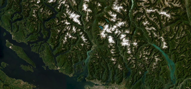
Out of Horseshoe Bay with Howe Sound filling the window, then up past the Stawamus Chief and Shannon Falls into the Coast Mountains to Whistler.
-
2
 61 mi2 h 8 min
Cabot Trail
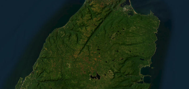
Completed in 1932 and named for John Cabot, it climbs from Cheticamp over French Mountain at 455 m, switchbacks down MacKenzie Mountain and drops over Cape Smokey to Ingonish.
-
3
 2,079 msummit
Icefields Parkway
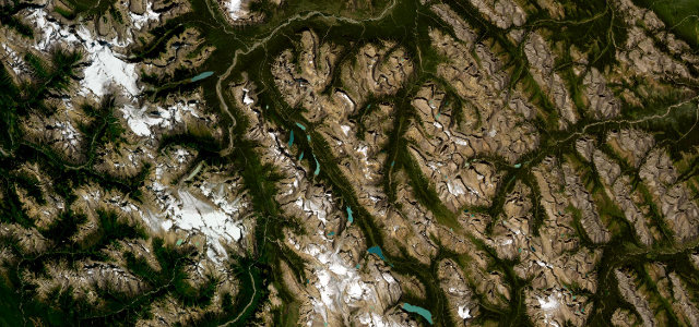
Lake Louise to Jasper past the Columbia Icefield, over Bow Summit and Sunwapta Pass, with glacier-fed lakes and 3,000-metre peaks for company the whole way.
-
4
 1,687 msummit
Akamina Parkway
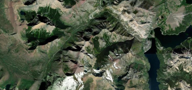
A winding 16 km climb from Waterton townsite up the Cameron Valley to Cameron Lake.
-
5
 1,909 msummit
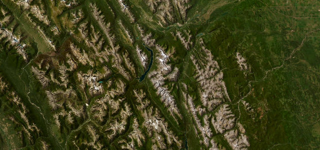
Smith-Dorrien / Spray Lakes Trail
A wild gravel run through the heart of Kananaskis, hugging the Spray Lakes reservoir between Canmore and Peter Lougheed Provincial Park.
The roads
Akamina Parkway10 mi · 20 min · 1,687 m summitView the roadbook ›
Sea-to-Sky Highway
Cabot Trail
Icefields Parkway
Route 132 Gaspé Coast
Smith-Dorrien / Spray Lakes Trail
Kootenay Skyway (Crowsnest Highway)
Meadows-in-the-Sky Parkway
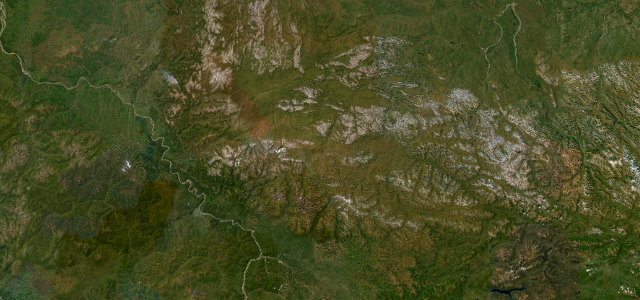
Dempster Highway
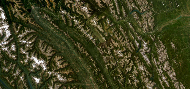
Banff-Windermere Parkway
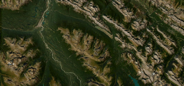
Maligne Lake Road
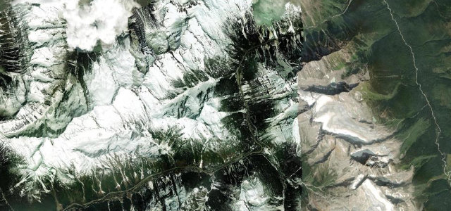
Rogers Pass
Highwood Pass

 United States
 Mexico
 Guatemala