Newfoundland and Labrador · Canada
Viking Trail, Gros Morne
Route 430Deer Lake to Rocky Harbour
Route 430 leaves the Trans-Canada at Deer Lake, winds through the Long Range Mountains past the Tablelands turn-off at Wiltondale and runs through Gros Morne National Park to Rocky Harbour, 67 km away.
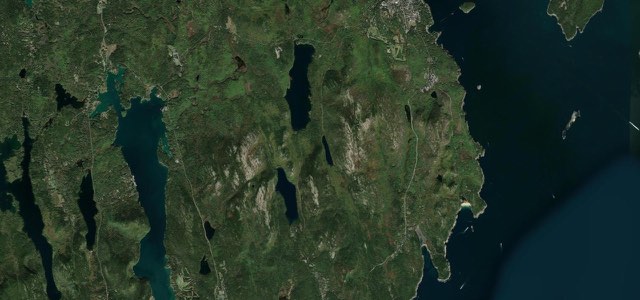
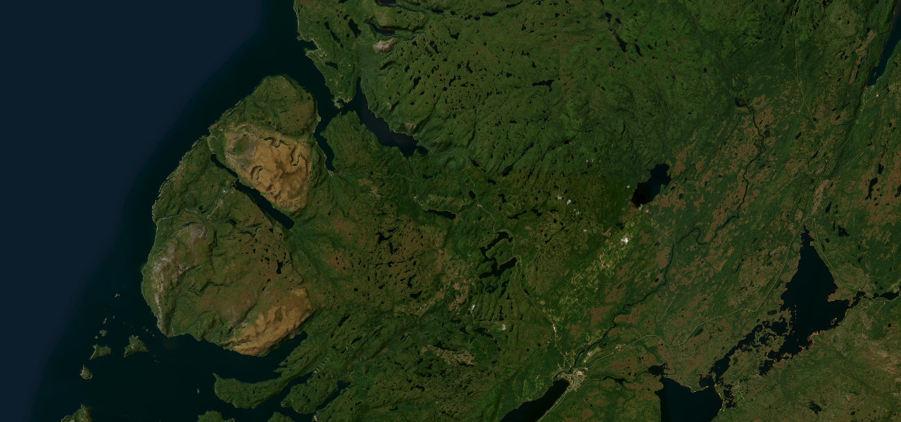
Route 430 starts at Exit 16 on the Trans-Canada Highway in Deer Lake, crosses the Humber River and heads northwest, passing the Newfoundland Insectarium at Reidville. It then begins winding through the Long Range Mountains, via Jack Ladder and Bonne Bay Pond, to Wiltondale, about 30 km in, where Route 431 turns off for the Tablelands scenic drive between Woody Point and Trout River. Less than half an hour from Deer Lake the road reaches the entrance gate of Gros Morne National Park, and RoadTripper.ca says the best views from the road in the park are between that gate and Rocky Harbour. The highway runs beside Bonne Bay, with the Gros Morne Mountain trailhead and the park visitor centre on the way, and ends at Rocky Harbour, where it turns up the western coastline. Route 430 itself carries on north for hundreds of kilometres as the Viking Trail to St Anthony, but this section stops at Rocky Harbour.
Scenery
Best seasons
In these collections
Viking Trail, Gros Morne on the map41.5 mi · point to point
Navigate to the start: Apple Maps · Google Maps
Character
Corners
busiest around mile 34Elevation
under 4%4 to 8%over 8%0 to 354 mPoints of interest5 stops
- Newfoundland InsectariumConverted barn at Reidville with a butterfly house and a honeybee hive, the province’s only insectarium.0.5 mi in
- Wiltondale, Route 431 junctionRoute 431 forks off here for Woody Point and the Tablelands scenic drive.19 mi in
- Gros Morne Mountain trailhead parkingParking for the Gros Morne Mountain Trail, a full-day hike of 17 km that climbs nearly 800 m.37 mi in
- Gros Morne Visitor Information CentreParks Canada information centre for the park, on the highway just south of Rocky Harbour.39 mi in
- Fisherman’s LandingMain Street restaurant in Rocky Harbour.41 mi in
Hazards
- Moose on the highway, mostly between dusk and dawn
- Winter snowstorms can cause long delays
- Paving works planned between Bonne Bay and Wiltondale in the 2026-27 season
Sources
“Driving through Gros Morne National Park is one of the best ways to see its spectacular vistas. The best views from the road are along Route 430 between the southern entrance gate and the town of Rocky Harbour, and the Tablelands Scenic Drive on Route 431.”
“Taking you up the Great Northern Peninsula, also known as the Northern Arm, the Viking Trail is one of the best road trips in Newfoundland.”
“Turn off Route 1 onto Route 430 at Deer Lake and get ready for Gros Morne National Park, one of the two UNESCO World Heritage Sites on the Viking Trail.”
Route traced from OpenStreetMap, with its stats measured from that line. How the roads are mapped
Driving the Viking Trail, Gros Morne: quick answers
How long does it take to drive the Viking Trail, Gros Morne?
How difficult is the Viking Trail, Gros Morne to drive?
When is the best time to drive the Viking Trail, Gros Morne?
Nearby roads
The closest great drives to Viking Trail, Gros Morne.