Maine · United States
Park Loop Road (Acadia)
Bar Harbor (Hulls Cove) to Seal Harbor
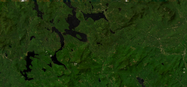
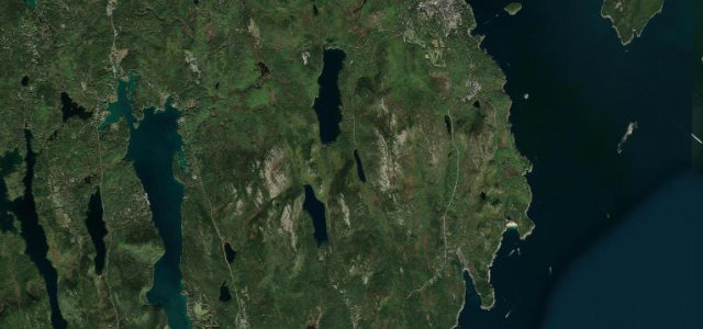
The ocean drive of Acadia’s Park Loop Road, one-way along the Atlantic-pounded granite shore of Mount Desert Island past Sand Beach, Thunder Hole and Otter Cliffs.
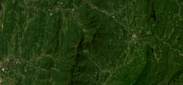
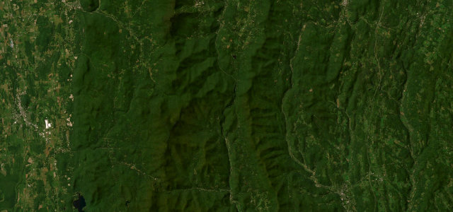
This is the signature drive of the Maine coast and a genuinely scenic one rather than a technical one. The eastern half runs one-way and clockwise, hugging the rocky shoreline past Sand Beach, Thunder Hole and Otter Cliffs where the Atlantic breaks right beside the lane, before turning inland past Jordan Pond. A side road climbs to the summit of Cadillac Mountain, the highest point on the US Atlantic coast and a famous sunrise spot. The driving is gentle, with easy curves and roadside parking, but the scenery does the work. It is extremely popular, so the road is busy in season and the Cadillac summit road now requires a timed reservation. Note the loop is closed in winter apart from a short Ocean Drive section, reopening in mid-April. Mind heavy seasonal congestion and cars stopping on the shoulder for photos, pedestrians crossing to the shoreline at Thunder Hole and Sand Beach, and the timed-entry reservation required for the Cadillac summit spur.
Where it runs5.7 mi · point to point
Navigate to the start: Apple Maps · Google Maps
Character
Corners
busiest around mile 2Elevation
under 4%4–8%over 8%56.9 – 166.3 mPoints of interest3 stops
- The BubbleLandmark3.4 mi in
- Great Pond HillViewpoint0.4 mi in
- Redfield HillViewpoint5.3 mi in
Hazards
- Heavy seasonal congestion and shoulder-parked cars
- Pedestrians crossing to shore at Thunder Hole/Sand Beach
- Timed-entry reservation needed for Cadillac summit spur
Sources
“Wind your way through forests, past lakes and mountains, and along the shoreline on scenic Park Loop Road.”
Verified route: mapped from real road geometry and fact-checked by a human editor. How roads get checked
Driving the Park Loop Road (Acadia): quick answers
How long does it take to drive the Park Loop Road (Acadia)?
How difficult is the Park Loop Road (Acadia) to drive?
When is the best time to drive the Park Loop Road (Acadia)?
Nearby roads
The closest great drives to Park Loop Road (Acadia).