Maine · United States
Grafton Notch
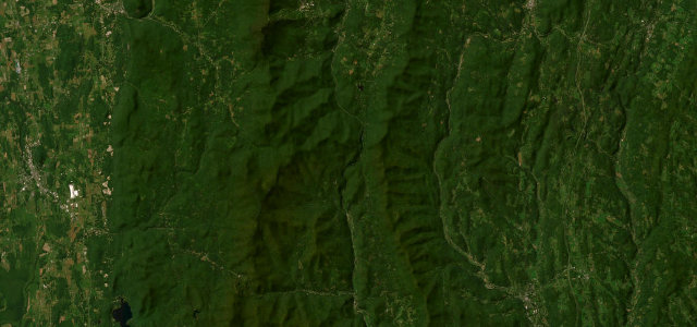
ME 26Newry to Upton
Quiet pass through Grafton Notch State Park past Screw Auger Falls.
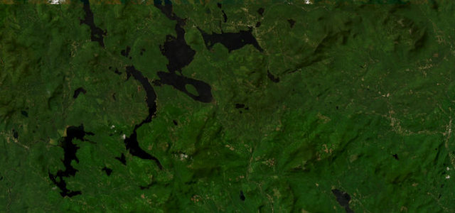
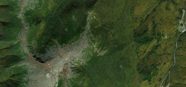
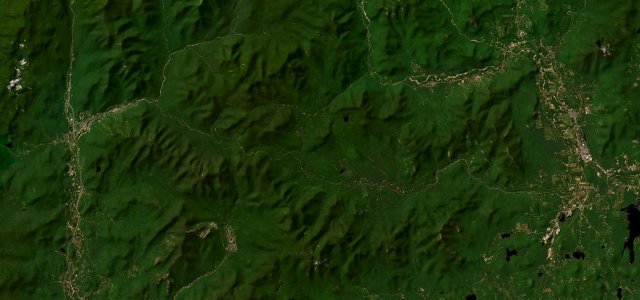
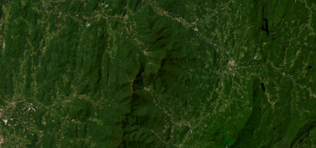
ME 26 runs north from Newry near Sunday River through Grafton Notch State Park toward Upton and the New Hampshire line, a designated scenic byway following the Bear River past Screw Auger Falls, Mother Walker Falls and the surrounding Mahoosuc peaks. It is a relaxed, flowing drive through a steep glacial notch rather than a hard technical road. Services are sparse once you leave Newry. Mind moose in the notch, cars pulling off suddenly at the waterfall lots, and frost heaves and ice in the shaded gorge.
Scenery
Best seasons
In these collections
In these guides
Where it runs22.0 mi · point to point
Navigate to the start: Apple Maps · Google Maps
Character
Corners
busiest around mile 2Elevation
under 4%4–8%over 8%195.8 – 540.2 mPoints of interest3 stops
- Grafton NotchViewpoint12 mi in
- Screw Auger FallsLandmark9.4 mi in
- Moose CaveLandmark11 mi in
Hazards
- Moose in the notch
- Cars stopping at waterfalls
- Ice in the shaded gorge
Sources
“Enjoy the solitude driving through this densely forested, serene park.”
Verified route: mapped from real road geometry and fact-checked by a human editor. How roads get checked
Driving the Grafton Notch: quick answers
How long does it take to drive the Grafton Notch?
How difficult is the Grafton Notch to drive?
When is the best time to drive the Grafton Notch?
Nearby roads
The closest great drives to Grafton Notch.