Vermont · United States
Granville Gulf
VT 100Hancock to Warren
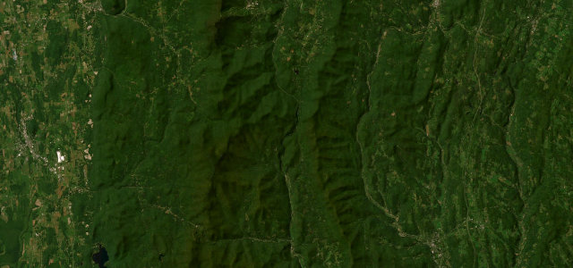
Winding wooded gulf past Moss Glen Falls.
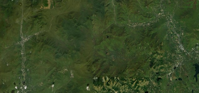
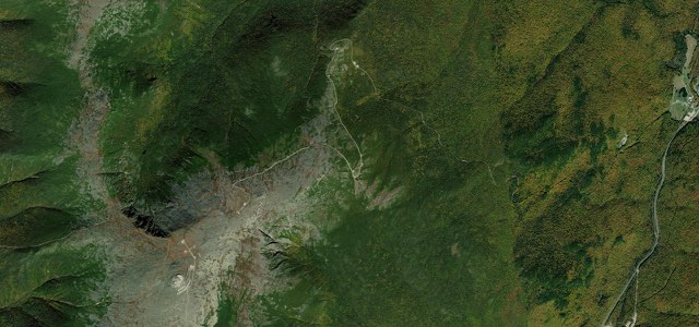
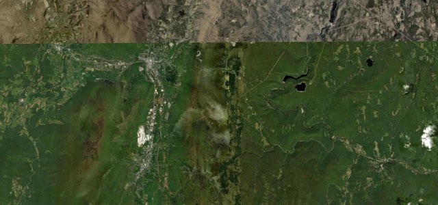
VT 100 threads the Granville Gulf Reservation, a winding wooded stretch through the Green Mountains between Hancock and Warren. The fully paved road passes the eighty-foot Moss Glen Falls and follows brooks through protected forest. Mind the moose and deer, fallen leaves in autumn, and winter ice.
Scenery
ForestValleyMountain
Best seasons
SummerAutumn
In these collections
Granville Gulf on the map14.4 mi · point to point
HancockStart · Vermont
WarrenEnd · Vermont
Navigate to the start: Apple Maps · Google Maps
Character
Corners35bends
Tightness4of 10
Max gradient6%≈ 1-in-17
Climb182 mtotal ascent
Summit430 mhighest point of the line · 1,411 ft
Corners
busiest around mile 5Elevation
under 4%4 to 8%over 8%279 to 430 mPoints of interest3 stops
- Granville NotchViewpoint8.0 mi in
- Moss Glen FallsLandmark6.6 mi in
- Warren FallsLandmark13 mi in
Hazards
- Moose and deer crossings
- Slippery autumn leaves
- Winter ice
Sources
“The one don’t-miss highlight of this middle section of Route 100 is Granville Gulf State Reservation... The Green Mountains rise steeply to either side of the road, and just off the west side of the road, delicate Moss Glen Falls tumble down through craggy cliffs to a gurgling stream.”
Route traced from OpenStreetMap, with its stats measured from that line. How the roads are mapped
Driving the Granville Gulf: quick answers
How long does it take to drive the Granville Gulf?
Granville Gulf runs 14.4 miles (23 km) and takes about 28 min to drive without stops.
How difficult is the Granville Gulf to drive?
We rate it easy: 35 corners, a maximum gradient of 6%, and a tightness of 4 out of 10.
When is the best time to drive the Granville Gulf?
Summer and Autumn are best.
Nearby roads
The closest great drives to Granville Gulf.
Granville Gulf
DirectionsGet the app