Vermont · United States
Mount Equinox Skyline Drive
Sunderland (Route 7A) to Mount Equinox summit
The longest privately owned paved toll road in the US, climbing 5.2 miles of hairpins up Mount Equinox above Manchester, Vermont.
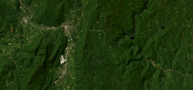
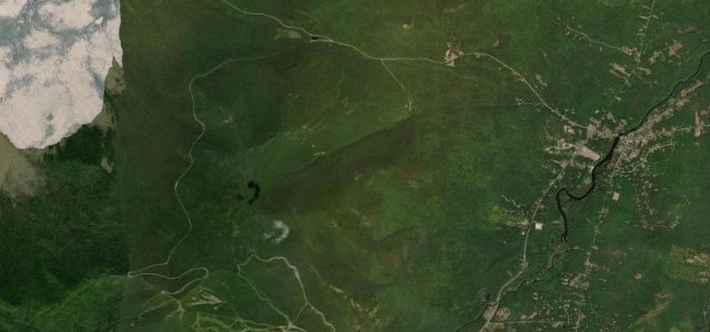
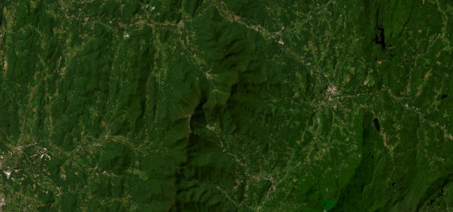
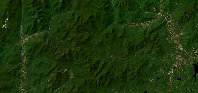
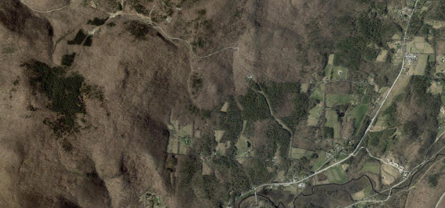
From the welcome center on historic Route 7A in Sunderland, Skyline Drive winds 5.2 miles and 3,200 ft up the Taconic Range to the summit of Mount Equinox and the St Bruno viewing center. It is a one-way-up toll climb, opened in 1947 and still privately run, with a steady stack of tight hairpins and a well-engineered surface that has made it a fixture of New England fall-foliage drives. You pay a toll at the base and return back down the same road. It runs only from Memorial Day weekend to the end of October. Mind steep grades with sheer wooded drop-offs, hairpins shared two-way with descending traffic, and fog and high wind near the exposed summit.
Scenery
Best seasons
In these collections
In these guides
Where it runs5.0 mi · point to point
Navigate to the start: Apple Maps · Google Maps
Character
Corners
busiest around mile 3Elevation
under 4%4–8%over 8%197.7 – 1,169.1 mPoints of interest2 stops
- Monastery OverlookViewpoint4.1 mi in
- Equinox MountainLandmark5.0 mi in
Hazards
- Steep grades with sheer wooded drop-offs
- Hairpins shared with descending traffic
- Fog and high wind near the summit
Sources
“It's an unforgettable drive to the summit of the highest peak in the Taconic Range.”
Verified route: mapped from real road geometry and fact-checked by a human editor. How roads get checked
Driving the Mount Equinox Skyline Drive: quick answers
How long does it take to drive the Mount Equinox Skyline Drive?
How difficult is the Mount Equinox Skyline Drive to drive?
When is the best time to drive the Mount Equinox Skyline Drive?
Is there a toll on the Mount Equinox Skyline Drive?
Nearby roads
The closest great drives to Mount Equinox Skyline Drive.