New Hampshire · United States
Kancamagus Highway
NH 112Lincoln to Conway
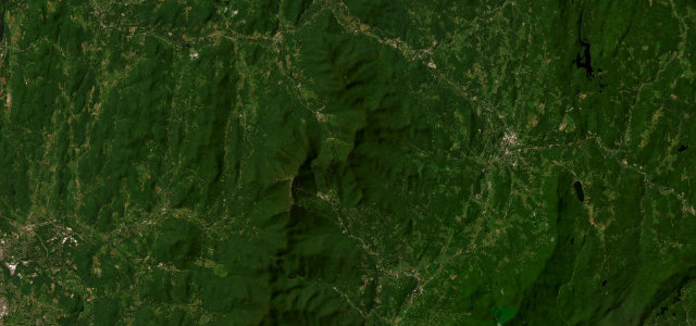
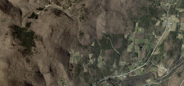
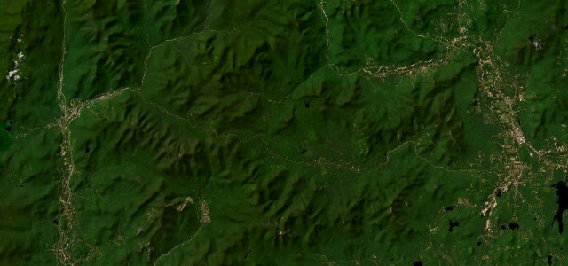
Thirty-five miles of forest, river overlooks and waterfalls between Lincoln and Conway, cresting the pass the road is named for. Come when the colour turns and share it with the leaf traffic, or come at dawn and share it with the moose.
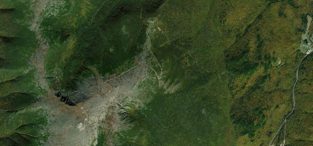
NH 112, the Kancamagus, runs through the heart of the White Mountains between Lincoln and Conway, crossing its namesake pass with sweeping forest views, river overlooks and waterfalls, a celebrated drive when the autumn colour turns. Mind the moose at dawn and dusk, the leaf-season traffic, and ice in the colder months.
Where it runs34.7 mi · point to point
Navigate to the start: Apple Maps · Google Maps
Character
Corners
busiest around mile 11Elevation
under 4%4–8%over 8%144.7 – 871.2 mPoints of interest3 stops
- Pemigewasset OverlookViewpoint13 mi in
- Sugar Hill Scenic VistaViewpoint18 mi in
- Spruce HillViewpoint28 mi in
Hazards
- Moose at dawn and dusk
- Heavy leaf-season traffic
- Ice in the colder months
Sources
“Following a series of hairpin turns, NH 112 crosses the height of land at 2,855-foot (870 m) Kancamagus Pass and begins to descend along the Swift River.”
Verified route: mapped from real road geometry and fact-checked by a human editor. How roads get checked
Driving the Kancamagus Highway: quick answers
How long does it take to drive the Kancamagus Highway?
How difficult is the Kancamagus Highway to drive?
When is the best time to drive the Kancamagus Highway?
Nearby roads
The closest great drives to Kancamagus Highway.