Vermont · United States
Smugglers' Notch
VT 108Stowe to Jeffersonville
Narrow seasonal pass squeezing between cliffs and boulders below Mount Mansfield.
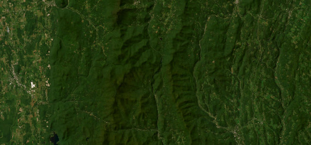
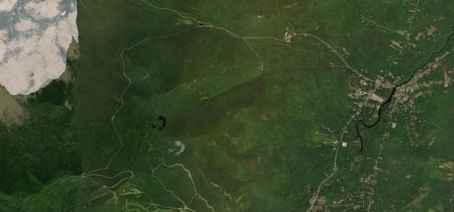
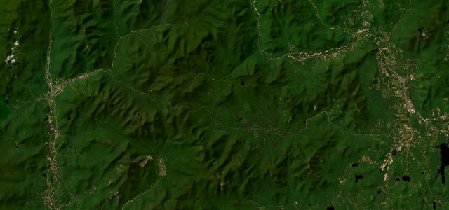
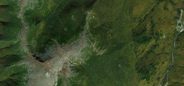
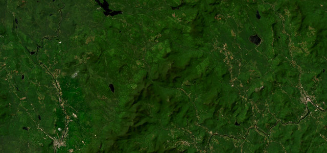
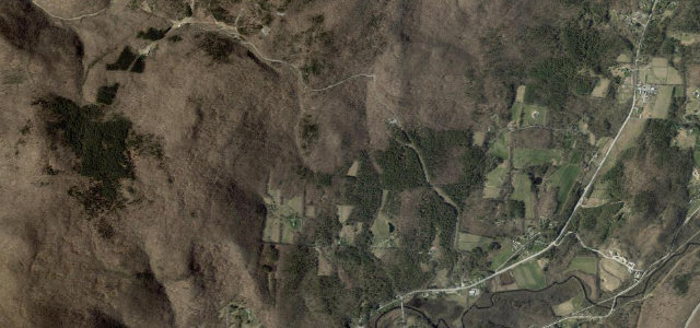
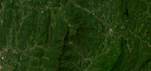
VT 108 threads Smugglers' Notch, a dramatic seasonal pass between Stowe and Jeffersonville that pinches to a single lane between giant fallen boulders beneath the cliffs of Mount Mansfield. The climb to the notch packs a couple of very tight hairpins and abrupt rock walls before easing down the Jeffersonville side. The road is closed to vehicles from roughly mid-November to mid-May and is always off limits to trucks and trailers. Mind the single-lane boulder squeeze at the height of land, the seasonal winter closure, and pedestrians crossing near the trailhead pull-offs.
Scenery
Best seasons
In these collections
Where it runs17.3 mi · point to point
Navigate to the start: Apple Maps · Google Maps
Character
Corners
busiest around mile 9Elevation
under 4%4–8%over 8%143.1 – 661.5 mPoints of interest2 stops
- Smuggler’s NotchViewpoint9.5 mi in
- Bingham Falls ViewpointViewpoint6.2 mi in
Hazards
- Single-lane boulder squeeze
- Closed mid-November to mid-May
- Pedestrians at trailheads
Is Smugglers' Notch open? Typical season and live summit weather ›
Sources
“Smugglers' Notch Scenic Highway, Vermont's most dramatic road, passes through picturesque forests, bold rock outcroppings, and over a shoulder of Mount Mansfield, Vermont's highest mountain.”
Verified route: mapped from real road geometry and fact-checked by a human editor. How roads get checked
Driving the Smugglers' Notch: quick answers
How long does it take to drive the Smugglers' Notch?
How difficult is the Smugglers' Notch to drive?
When is the best time to drive the Smugglers' Notch?
Nearby roads
The closest great drives to Smugglers' Notch.