State guide
 The best driving roads in Vermont
3 hand-picked driving roads in Vermont, every one mapped from real geometry and fact-checked.
Roads3hand-picked
Combined34 mi55 km of driving
High point694.1 m2,277 ft
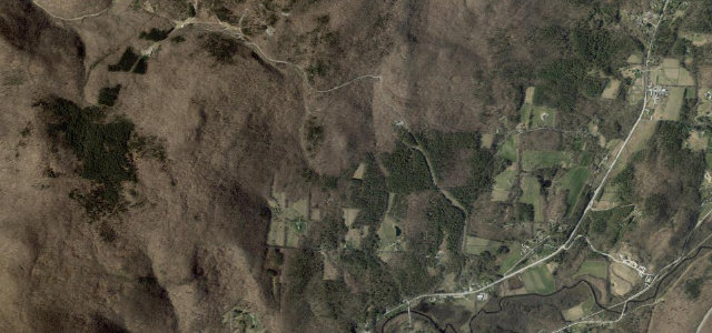
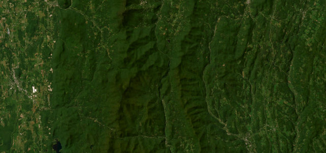
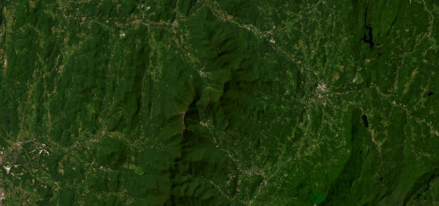
The roads
More states
Driving in Vermont: common questions
What is the best driving road in Vermont?
Mount Equinox Skyline Drive is the place to start. The longest privately owned paved toll road in the US, climbing 5.2 miles of hairpins up Mount Equinox above Manchester, Vermont.
How many great driving roads does Vermont have?
3 hand-picked and fact-checked roads, 34 miles of driving in all, every one mapped from real road geometry.