State guide
 The best driving roads in Washington
6 hand-picked driving roads in Washington, every one mapped from real geometry and fact-checked.
Roads6hand-picked
Combined162 mi261 km of driving
High point1,659 m5,443 ft
The roads
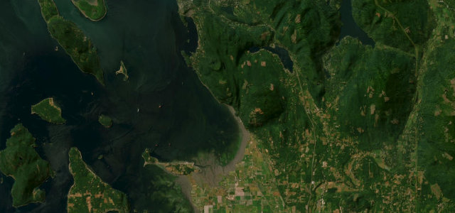 Chuckanut Drive11 mi · 23 min · 34 cornersView the roadbook ›
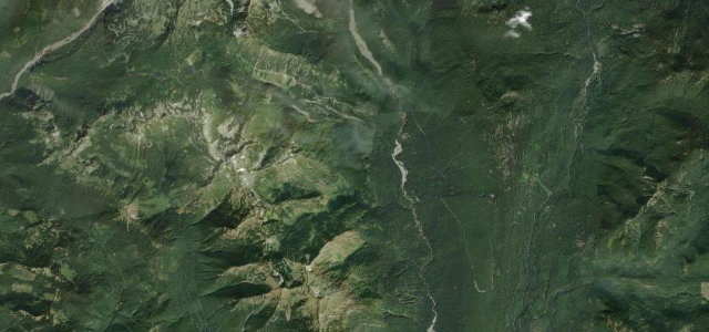
Stevens Canyon Road
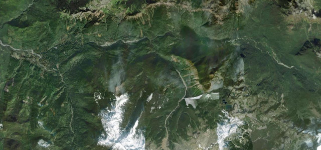
Mount Baker Highway
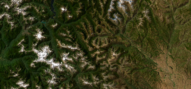
North Cascades Highway
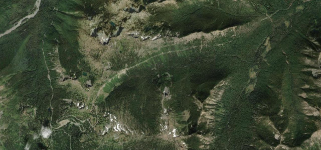
Chinook Pass (Mather Memorial Parkway)
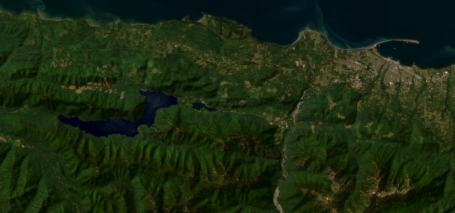
Olympic 101 Lake Crescent
More states
Driving in Washington: common questions
What is the best driving road in Washington?
Chuckanut Drive is the place to start. A cliff-hugging coast road south of Bellingham.
How many great driving roads does Washington have?
6 hand-picked and fact-checked roads, 162 miles of driving in all, every one mapped from real road geometry.
What is the highest road in Washington?
Chinook Pass (Mather Memorial Parkway) is the highest, climbing to about 1,659 m (5,443 ft).