State guide
 The best driving roads in Utah
6 hand-picked driving roads in Utah, every one mapped from real geometry and fact-checked, including 1 world icon.
Roads61 world icon
Combined146 mi235 km of driving
High point3,238 m10,623 ft
The roads
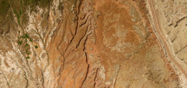 Burr Trail33 mi · 1 h 13 min · 2,071 m summitView the roadbook ›
Zion–Mount Carmel Highway
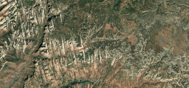
Cedar Breaks Scenic Byway
Logan Canyon Scenic Byway
Moki Dugway
Scenic Byway 12 Hogback
More states
Driving in Utah: common questions
What is the best driving road in Utah?
Burr Trail is the place to start. Boulder red-rock backway through Long Canyon to the Burr switchbacks
How many great driving roads does Utah have?
6 hand-picked and fact-checked roads, 146 miles of driving in all, every one mapped from real road geometry.
What is the highest road in Utah?
Cedar Breaks Scenic Byway is the highest, climbing to about 3,238 m (10,623 ft).