State guide
 The best driving roads in Tennessee
5 hand-picked driving roads in Tennessee, every one mapped from real geometry and fact-checked.
Roads5hand-picked
Combined125 mi201 km of driving
High point1,613 m5,292 ft
The roads
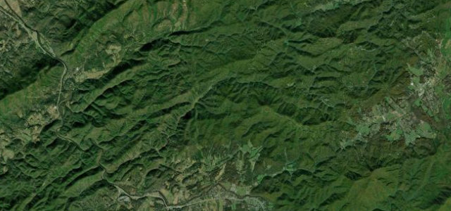 Foothills Parkway (Western Section)15 mi · 27 min · 788 m summitView the roadbook ›
More states
Driving in Tennessee: common questions
What is the best driving road in Tennessee?
Foothills Parkway (Western Section) is the place to start. Ridge-running National Park parkway with open views to the high Smokies.
How many great driving roads does Tennessee have?
5 hand-picked and fact-checked roads, 125 miles of driving in all, every one mapped from real road geometry.
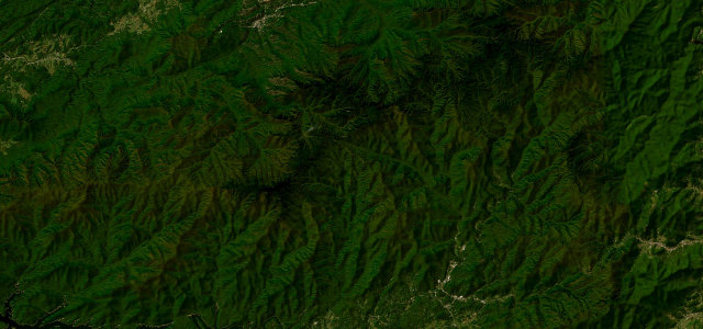
What is the highest road in Tennessee?
Cherohala Skyway is the highest, climbing to about 1,613 m (5,292 ft).