Tennessee · United States
The Snake
US 421Mountain City to Holston Valley (near Bristol)
A celebrated motorcycle and sports-car road in the northeast corner of Tennessee, climbing over Iron and Holston Mountains through Shady Valley with a much-quoted 489 curves over three mountains.
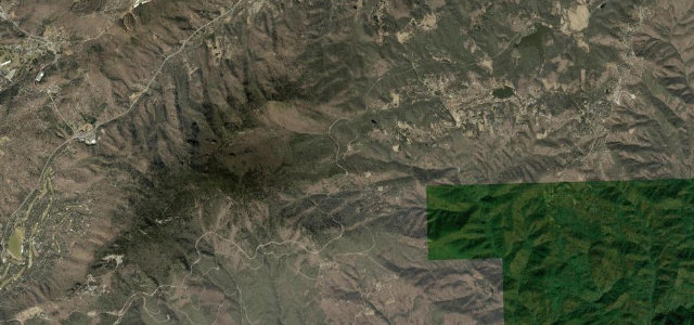
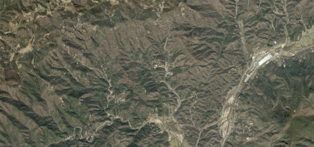
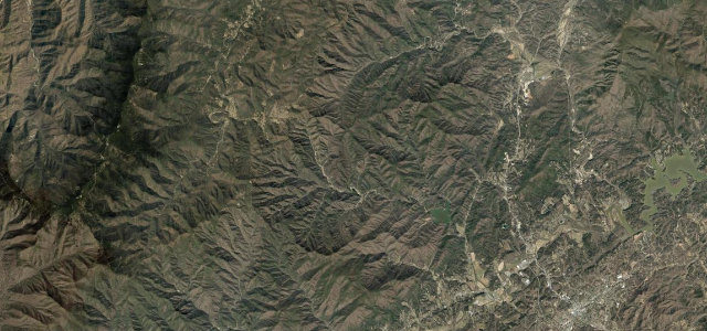
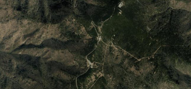
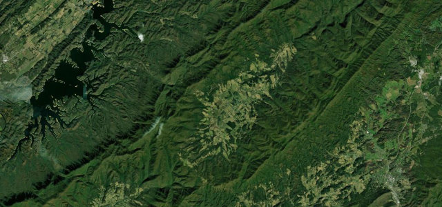
Known simply as The Snake, this stretch of US 421 between Mountain City and the Bristol side has become one of the East’s best-known enthusiast roads, with the Shady Valley Country Store as its hub. From Mountain City the road climbs Iron Mountain in a dense set of switchbacks, drops into the green bowl of Shady Valley, then climbs again over Holston Mountain toward Holston Valley and Bristol. The corners are constant and varied, fast sweepers giving way to slow uphill hairpins, and the road is well surfaced and properly graded as a US route rather than a goat track. Its fame draws bikes in numbers on warm weekends, which is the main thing to plan around. Mind heavy motorcycle traffic crossing the centre line on warm weekends, log trucks and slow traffic on the blind climbs, and gravel and damp patches in the shaded switchbacks.
Where it runs22.8 mi · point to point
Navigate to the start: Apple Maps · Google Maps
Character
Corners
busiest around mile 9Elevation
under 4%4–8%over 8%494 – 1,186 mFrom the road
Points of interest3 stops
- Johnson County Veterans Memorial WallLandmark0.3 mi in
- Grindstone KnobViewpoint6.4 mi in
- Delaney MountainViewpoint16 mi in
Hazards
- Heavy motorcycle traffic crossing the centre line on weekends
- Log trucks and slow traffic on blind climbs
- Gravel and damp patches in shaded switchbacks
Sources
“This outstanding curvy, twisting, beautiful, scenic ride is packed with incredible mountain scenery.”
Verified route: mapped from real road geometry and fact-checked by a human editor. How roads get checked
Driving the Snake: quick answers
How long does it take to drive the Snake?
How difficult is the Snake to drive?
When is the best time to drive the Snake?
Nearby roads
The closest great drives to The Snake.