Virginia · United States
Back of the Dragon
VA 16Marion to Tazewell
A 32-mile run of Virginia Route 16 between Marion and Tazewell that crosses three Appalachian ridges, with a quoted 438 curves and the distinction of being Virginia’s only designated motorcycle route.
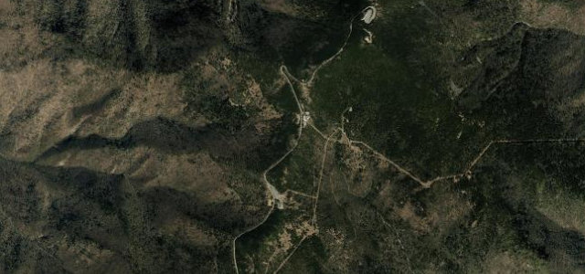
The Back of the Dragon takes its name from the way Route 16 humps over Big Walker, Brushy and Clinch Mountains, three ridges crossing its path like the spine of a dragon. Between Marion and Tazewell it strings together a long sequence of named curves, some broad enough for 55 mph and many others blind or tightening and signposted at 15 or 25, with around 3,500 feet of elevation in play. It is well surfaced, properly engineered and now actively promoted as a driving and riding destination, which makes it both excellent and busy. The northern descents into Tazewell are the most technical part, with stacked switchbacks demanding genuine brake discipline. Mind blind tightening curves where the signed speed drops sharply, heavy motorcycle and sports-car traffic on warm weekends, and occasional farm equipment and trucks on the climbs.
Where it runs32.1 mi · point to point
Navigate to the start: Apple Maps · Google Maps
Character
Corners
busiest around mile 21Elevation
under 4%4–8%over 8%622.5 – 1,052.6 mPoints of interest3 stops
- Walker’s Mountain OverlookViewpoint7.8 mi in
- Clyburn Ridge OverlookViewpoint4.1 mi in
- Black HillViewpoint14 mi in
Hazards
- Blind tightening curves where signed speed drops sharply
- Heavy motorcycle and sports-car traffic on weekends
- Farm equipment and trucks on the climbs
Sources
“Perfection is a conceptual thing. It doesn't exist in nature, but for those of us who enjoy motorcycling, the Back of the Dragon, cutting north-south across the "waist" of Virginia, comes damn close.”
Verified route: mapped from real road geometry and fact-checked by a human editor. How roads get checked
Driving the Back of the Dragon: quick answers
How long does it take to drive the Back of the Dragon?
How difficult is the Back of the Dragon to drive?
When is the best time to drive the Back of the Dragon?
Nearby roads
The closest great drives to Back of the Dragon.