West Virginia · United States
Highland Scenic Highway
WV 150Cranberry to Marlinton
High Allegheny ridge parkway over 4,500 feet through the Monongahela forest.
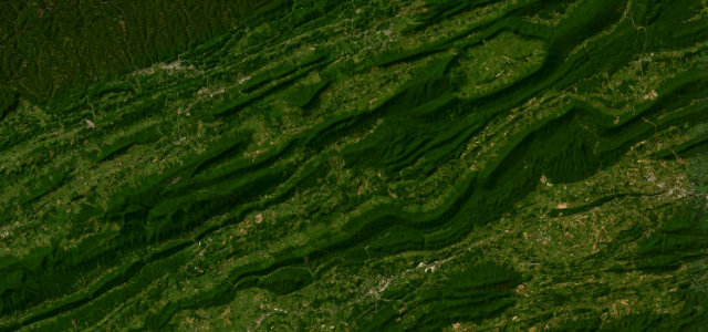
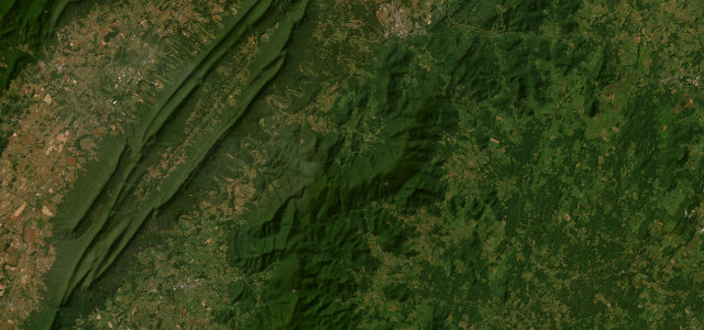
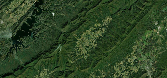
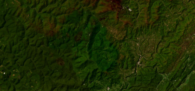
WV 150 is the parkway section of West Virginia’s Highland Scenic Highway, a meandering ridge road through the Monongahela National Forest that climbs above 4,500 feet with four developed overlooks toward the Allegheny Highlands. It is a flowing, lightly trafficked scenic run rather than a technical road, passing Cranberry Glades and the Falls of Hills Creek nearby. It is not maintained in winter and travel is discouraged from roughly November into April. Mind the unmaintained winter closures, fog settling on the high ridge, and deer and bear at dawn and dusk.
Scenery
Best seasons
In these collections
In these guides
Where it runs16.3 mi · point to point
Navigate to the start: Apple Maps · Google Maps
Character
Corners
busiest around mile 1Elevation
under 4%4–8%over 8%923.1 – 1,386.1 mPoints of interest3 stops
- Barlow TopViewpoint4.3 mi in
- Black MountainViewpoint5.5 mi in
- Tea Creek MountainViewpoint16 mi in
Hazards
- Unmaintained in winter
- Ridge-top fog
- Deer and bear at dusk
Sources
“the road is specially designed to be a scenic byway with a meandering course along mountain ridges that reach an elevation of 4,545 feet (1,385 m)”
Verified route: mapped from real road geometry and fact-checked by a human editor. How roads get checked
Driving the Highland Scenic Highway: quick answers
How long does it take to drive the Highland Scenic Highway?
How difficult is the Highland Scenic Highway to drive?
When is the best time to drive the Highland Scenic Highway?
Nearby roads
The closest great drives to Highland Scenic Highway.