West Virginia · United States
Allegheny Front, Elkins to Franklin
US 33Elkins to Franklin
US 33 climbs east from Elkins over the Eastern Continental Divide, drops down the Allegheny Front to Seneca Rocks, then crosses North Fork Mountain at 3,600 feet to Franklin, 58 miles of steep grades and twisting two-lane road.
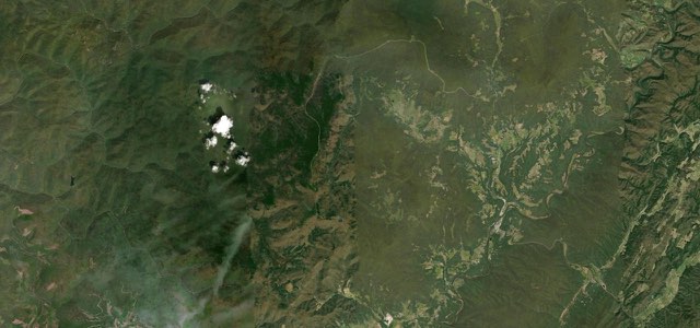
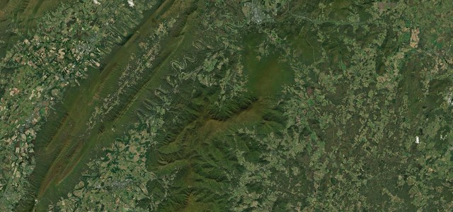
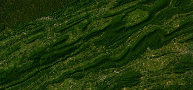
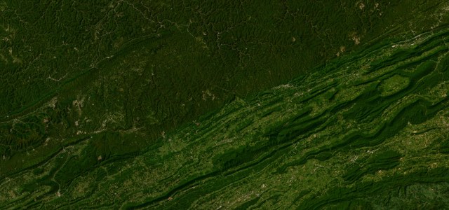
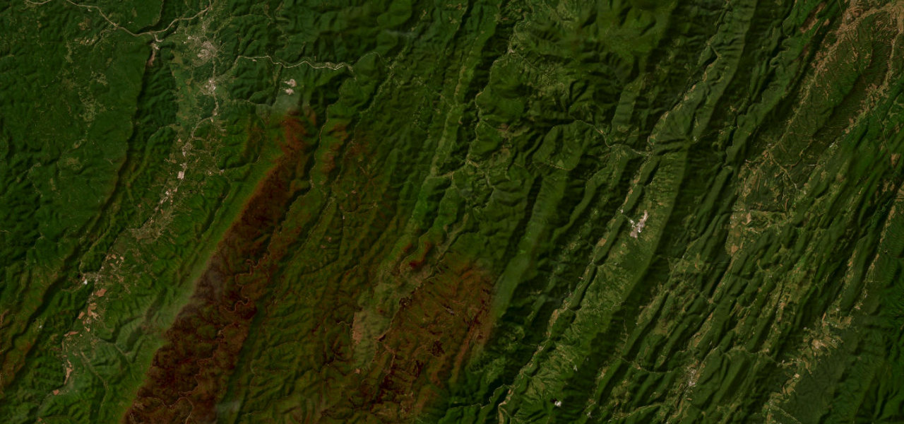
From the east side of Elkins, US 33 runs east with WV 55 as a two-lane road through the Monongahela National Forest. It crosses the Eastern Continental Divide between Harman and Onego at about 3,240 feet, enters Pendleton County and descends the Allegheny Front along Seneca Creek, skirting the north end of Spruce Mountain, which at 4,861 feet is the highest point of the Allegheny Mountains. At Seneca Rocks the road joins WV 28 beside a rock formation that rises 900 feet above the North Fork River, and heads south through the Potomac headwaters to Judy Gap. There US 33 turns east and crosses North Fork Mountain at about 3,600 feet, where a turnout on the western slope looks over Germany Valley to the Allegheny Front, from Spruce Knob to Dolly Sods. It then drops to Franklin, where it briefly shares the road with US 220, and Rider describes lots of steep elevation changes and peg-scraping twists on the way.
Scenery
Best seasons
In these collections
Allegheny Front, Elkins to Franklin on the map58.3 mi · point to point
Navigate to the start: Apple Maps · Google Maps
Character
Corners
busiest around mile 27Elevation
under 4%4 to 8%over 8%476 to 1,094 mPoints of interest4 stops
- Seneca RocksRock formation that rises 900 feet above the North Fork River, with hiking trails.35 mi in
- Seneca Rocks Discovery CenterMuseum at the foot of Seneca Rocks, beside the junction of US 33 and WV 28.35 mi in
- Judy GapGap where US 33 leaves WV 28 and turns east towards North Fork Mountain.46 mi in
- Germany Valley OverlookTurnout on North Fork Mountain looking over Germany Valley to the Allegheny Front, from Spruce Knob to Dolly Sods.49 mi in
Hazards
- Steep grades and three dangerous curves on Allegheny Mountain west of Seneca Rocks, where trucks overheat
- Steep descents into tight turns
- The road is narrow in places
- Fill up with fuel before you start
Sources
“U.S. Route 33 is one of the highest-rated motorcycle roads in West Virginia. Start from Elkins and continue east 80 miles toward the Virginia border, passing through Monongahela National Forest along the way. This route includes lots of steep elevation changes and peg-scraping twists.”
“There are some sharp turns and few straight-aways.”
Route traced from OpenStreetMap, with its stats measured from that line. How the roads are mapped
Driving the Allegheny Front, Elkins to Franklin: quick answers
How long does it take to drive the Allegheny Front, Elkins to Franklin?
How difficult is the Allegheny Front, Elkins to Franklin to drive?
When is the best time to drive the Allegheny Front, Elkins to Franklin?
Nearby roads
The closest great drives to Allegheny Front, Elkins to Franklin.