Pennsylvania · United States
Highway to the Stars
PA 44Sweden Valley to Waterville
PA 44 runs 54 miles south from US 6 through the Susquehannock State Forest and Cherry Springs State Park, a dark-sky park, then over Pine Hill and down to Pine Creek, on fast sweepers with short sight lines.
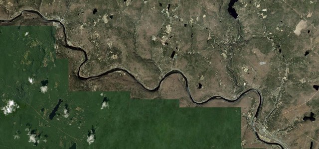
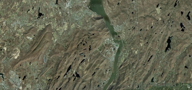
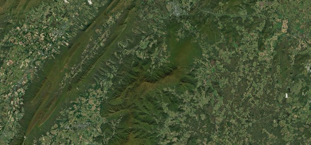
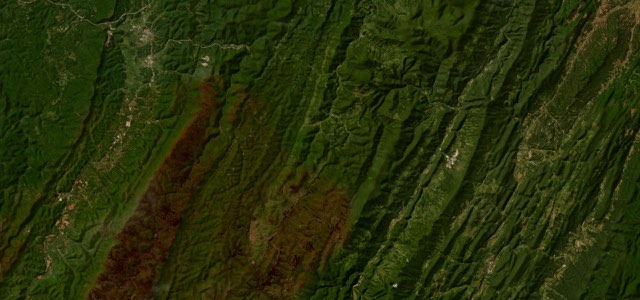
The Highway to the Stars leaves US 6 at Sweden Valley, about four miles east of Coudersport, and climbs south through woods and fields past Longtoe Vista and Patterson State Park, trailhead of the 85-mile Susquehannock Trail. It then crosses Cherry Springs State Park, Pennsylvania’s first dark-sky park, on the Allegheny Plateau at about 2,300 ft. Beyond Mount Brodhead it drops to Carter Camp, shares the road with PA 144 along Little Kettle Creek to Oleona, then climbs over Pine Hill into the Tiadaghton and Sproul state forests. Past the PA 664 junction at Haneyville it makes a long descent by Upper Pine Bottom State Park to Pine Creek, ending at the PA 414 junction by Waterville, where the gorge road heads north. The road is narrow, without shoulders, unlit at night and short of fuel and food once you leave Coudersport.
Scenery
Best seasons
In these collections
Highway to the Stars on the map53.6 mi · point to point
Navigate to the start: Apple Maps · Google Maps
Character
Corners
busiest around mile 27Elevation
under 4%4 to 8%over 8%203 to 772 mPoints of interest4 stops
- Longtoe VistaRoadside view on the climb south from Sweden Valley.4.2 mi in
- Patterson State ParkA 19-acre roadside park with two CCC-built pavilions, trailhead of the Susquehannock Trail.6.4 mi in
- Cherry Springs State ParkPennsylvania’s first dark-sky park, 82 acres at about 2,300 ft, with a public night-sky viewing area.11 mi in
- Upper Pine Bottom State ParkA 5-acre park with a picnic site on Upper Pine Bottom Run, on the descent to Pine Creek.52 mi in
Hazards
- Narrow, with no shoulders
- Short sight lines and blind turns
- Wildlife on the road
- No lighting at night
- RVs and trailers heading for the parks
- Leaves and fallen limbs on the surface
Sources
“Turning back east toward Wellsboro from there, PA-44 and PA-414 also rank highly among riders familiar with this part of the country.”
“Between the above mentioned Route 6 and US-220 is a fantastic portion of Route 44 that will offer both natural beauty and fun curves by motorcycle.”
“The Highway to the Stars continues south for approximately 31 miles and ends at the Lycoming county line, but you can keep riding beautiful Route 44 all the way to Jersey Shore.”
Route traced from OpenStreetMap, with its stats measured from that line. How the roads are mapped
Driving the Highway to the Stars: quick answers
How long does it take to drive the Highway to the Stars?
How difficult is the Highway to the Stars to drive?
When is the best time to drive the Highway to the Stars?
Nearby roads
The closest great drives to Highway to the Stars.