New York · United States
Storm King Highway
NY 218Cornwall-on-Hudson to West Point
Cliff-edge ledge road carved into Storm King above the Hudson at West Point.
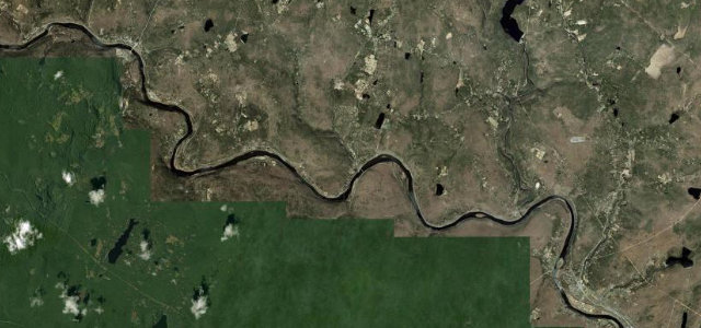
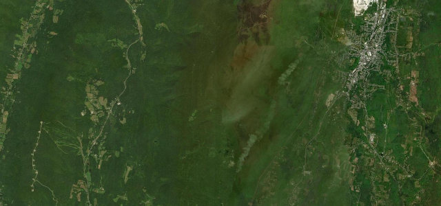
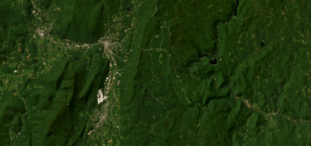
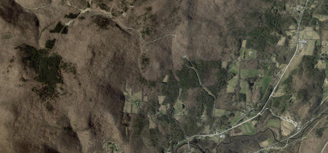
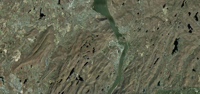
NY 218, the Storm King Highway, is a century-old ledge road blasted into the flank of Storm King Mountain on cliffs above the Hudson River between Cornwall-on-Hudson and West Point. The famous middle section hangs on the rock face with low stone walls, tight curves and big river views, before rejoining the academy area to the south. It is short and slow but genuinely dramatic. Mind the narrow cliff-edge lanes with low walls, falling rock and debris after storms, and seasonal closures during severe weather.
Scenery
Best seasons
In these collections
In these guides
Where it runs11.8 mi · point to point
Navigate to the start: Apple Maps · Google Maps
Character
Corners
busiest around mile 1Elevation
under 4%4–8%over 8%37.5 – 377.9 mFrom the road
Points of interest2 stops
- River LighthouseLandmark0.4 mi in
- Deer HillViewpoint2.9 mi in
Hazards
- Narrow cliff-edge lanes
- Falling rock after storms
- Storm closures
See the typical season and live conditions for the high passes ›
Sources
“Any tour of the wonderfully scenic roads in this part of the Hudson Valley should absolutely include this one”
Verified route: mapped from real road geometry and fact-checked by a human editor. How roads get checked
Driving the Storm King Highway: quick answers
How long does it take to drive the Storm King Highway?
How difficult is the Storm King Highway to drive?
When is the best time to drive the Storm King Highway?
Nearby roads
The closest great drives to Storm King Highway.