Massachusetts · United States
Mount Greylock (Rockwell Road)
Lanesborough to Mount Greylock summit
A nine-mile climb up Rockwell Road to the summit of Mount Greylock, the highest point in Massachusetts.
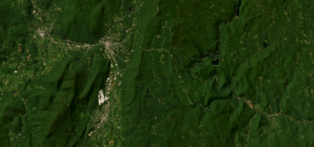
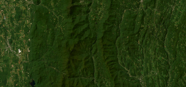
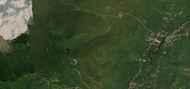
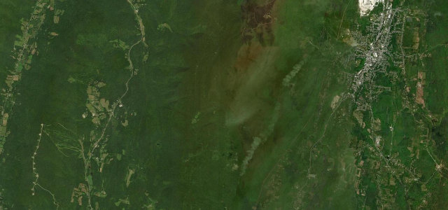
From the reservation visitor center in Lanesborough, Rockwell Road climbs roughly nine miles through dense Berkshire hardwood forest to the 3,491 ft summit of Mount Greylock, crowned by the Massachusetts war memorial tower with views across three states. The driving is short but engaging, steep in places with a handful of hairpins as it gains the ridge, and it meets Notch Road near the top. It is a summit out-and-back rather than a through route, popular for autumn colour. The narrow state-park road is gated shut in winter and after heavy weather. Mind a narrow surface with frost heaves and potholes, slow cyclists and hikers on blind bends, and a seasonal closure with no winter access.
Scenery
Best seasons
In these collections
In these guides
Where it runs7.7 mi · point to point
Navigate to the start: Apple Maps · Google Maps
Character
Corners
busiest around mile 7Elevation
under 4%4–8%over 8%419.4 – 966.1 mPoints of interest3 stops
- Rounds RockViewpoint3.4 mi in
- Jones NoseViewpoint4.6 mi in
- March Cataract FallsLandmark7.1 mi in
Hazards
- Narrow surface with frost heaves and potholes
- Slow cyclists and hikers on blind bends
- Seasonal closure with no winter access
Is Mount Greylock (Rockwell Road) open? Typical season and live summit weather ›
Sources
“The summit features a fantastic panorama offering dramatic views of five states.”
Verified route: mapped from real road geometry and fact-checked by a human editor. How roads get checked
Driving the Mount Greylock (Rockwell Road): quick answers
How long does it take to drive the Mount Greylock (Rockwell Road)?
How difficult is the Mount Greylock (Rockwell Road) to drive?
When is the best time to drive the Mount Greylock (Rockwell Road)?
Nearby roads
The closest great drives to Mount Greylock (Rockwell Road).