Massachusetts · United States
Mohawk Trail (Route 2)
MA 2Charlemont to Williamstown
Historic Berkshires byway over the Hoosac Range, climbing to the famous Hairpin Turn.
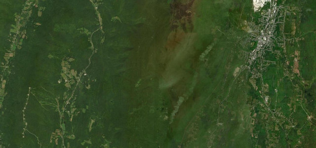
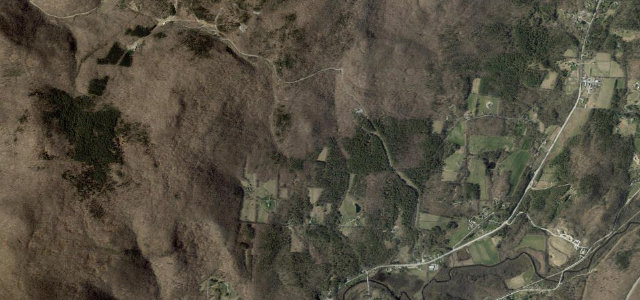
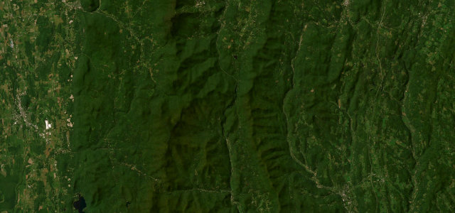
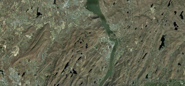
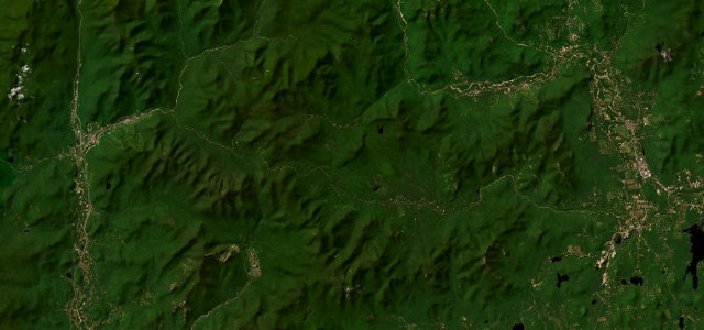
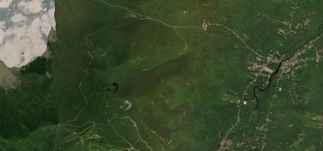
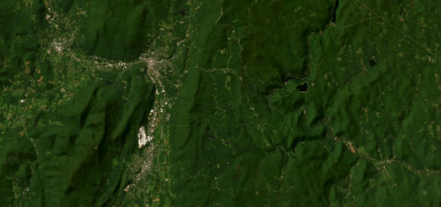
The Mohawk Trail follows Route 2 across the Berkshires of northwest Massachusetts and was one of America’s first roads laid out for scenic auto touring, opened in 1914. The renowned stretch climbs from Charlemont up through the Hoosac Range to North Adams, with the well known Hairpin Turn switchback and a long panorama over the Hoosac Valley. It is more of a touring drive than a hard charge, best in autumn when the hardwood foliage turns. Mind the tight Hairpin Turn descent grade, slow tourist traffic at overlooks, and leaf-slick pavement in fall.
Scenery
Best seasons
In these collections
Where it runs23.5 mi · point to point
Navigate to the start: Apple Maps · Google Maps
Character
Corners
busiest around mile 11Elevation
under 4%4–8%over 8%171.4 – 664.8 mFrom the road
Points of interest3 stops
- Western SummitViewpoint14 mi in
- Veterans' MemorialLandmark24 mi in
- Hairpin TurnViewpoint15 mi in
Hazards
- Tight Hairpin Turn switchback
- Slow traffic at overlooks
- Leaf-slick fall pavement
Sources
“Snaking its way up and over the mountains, enjoy thrilling curves and steep climb.”
Verified route: mapped from real road geometry and fact-checked by a human editor. How roads get checked
Driving the Mohawk Trail (Route 2): quick answers
How long does it take to drive the Mohawk Trail (Route 2)?
How difficult is the Mohawk Trail (Route 2) to drive?
When is the best time to drive the Mohawk Trail (Route 2)?
Nearby roads
The closest great drives to Mohawk Trail (Route 2).