Virginia · United States
Skyline Drive
Front Royal to Thornton Gap
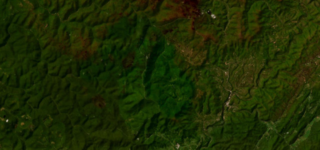
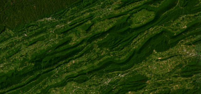
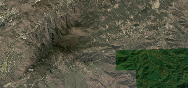
Skyline Drive holds the crest of the Blue Ridge with an overlook roughly every mile and a half, the Shenandoah Valley on one side and the Piedmont on the other. The whole parkway is capped at 35 mph for the crossing deer and bear, so it’s about the views, not the pace.
Skyline Drive is a 105-mile National Parkway running the crest of the Blue Ridge through Shenandoah National Park, Virginia. This northern section runs from the Front Royal entrance at US 340 to Thornton Gap at US 211, with overlooks roughly every 1.5 miles giving views over the Shenandoah Valley and Piedmont. The blanket speed limit is 35 mph to protect crossing wildlife. Mind the deer and bear on the road, frequent fog, and the low enforced speed limit.
Where it runs30.6 mi · point to point
Navigate to the start: Apple Maps · Google Maps
Character
Corners
busiest around mile 1Elevation
under 4%4–8%over 8%213.5 – 1,034.9 mPoints of interest3 stops
- Shenandoah Valley OverlookViewpoint2.2 mi in
- Range View OverlookViewpoint16 mi in
- Pass Mountain OverlookViewpoint29 mi in
Hazards
- Deer and bear crossings
- Mountain fog
- Strict 35 mph limit
Sources
“Drivers will see stunning views of mountains and valleys, flowers and wildlife as they wind through the park.”
Verified route: mapped from real road geometry and fact-checked by a human editor. How roads get checked
Driving the Skyline Drive: quick answers
How long does it take to drive the Skyline Drive?
How difficult is the Skyline Drive to drive?
When is the best time to drive the Skyline Drive?
Nearby roads
The closest great drives to Skyline Drive.