Tennessee · United States
Foothills Parkway (Western Section)
Walland to Wears Valley
Ridge-running National Park parkway with open views to the high Smokies.
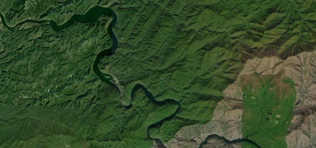
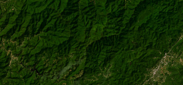
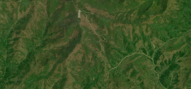
The western Foothills Parkway runs along high ridges between Walland and Wears Valley, a National Park Service motor road giving unobstructed views south to the crest of the Great Smokies and north over the Tennessee Valley. This Walland to Wears Valley stretch runs about 16 miles and forms the northern end of the parkway’s roughly 33-mile western segment, which continues south toward Chilhowee. It is a smooth, sweeping ridge drive built for the scenery rather than for hard cornering, completed when the long-awaited 'Missing Link' bridges opened in 2018. Mind the slow sightseeing traffic and sudden overlook stops, deer and bear crossing the ridge, and fog rolling over the gaps.
Scenery
Best seasons
In these collections
In these guides
Where it runs14.5 mi · point to point
Navigate to the start: Apple Maps · Google Maps
Character
Corners
busiest around mile 7Elevation
under 4%4–8%over 8%292.4 – 763.2 mFrom the road
Points of interest3 stops
- Caylor GapViewpoint9.7 mi in
- Headrick GapViewpoint13 mi in
- Bates MountainViewpoint4.4 mi in
Hazards
- Slow sightseeing traffic
- Deer and bear crossings
- Fog over the gaps
Sources
“The drive on the Parkway between US 129 and Wears Valley is arguably the best way to see the Great Smoky Mountains.”
Verified route: mapped from real road geometry and fact-checked by a human editor. How roads get checked
Driving the Foothills Parkway (Western Section): quick answers
How long does it take to drive the Foothills Parkway (Western Section)?
How difficult is the Foothills Parkway (Western Section) to drive?
When is the best time to drive the Foothills Parkway (Western Section)?
Nearby roads
The closest great drives to Foothills Parkway (Western Section).