North Carolina · United States
Balsam Grove
NC 215Sunburst (near Canton) to Balsam Grove
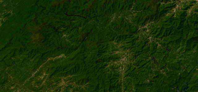
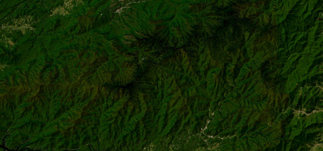
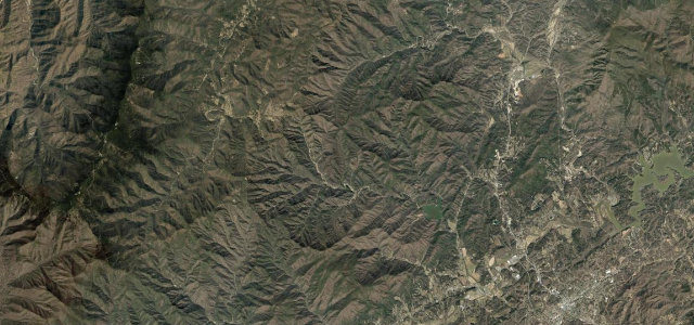
A demanding, lightly-trafficked mountain road that crosses the Blue Ridge Parkway at Beech Gap above 5,300 feet, linking the Lake Logan / Sunburst area near Canton with Rosman through the Pisgah backcountry.
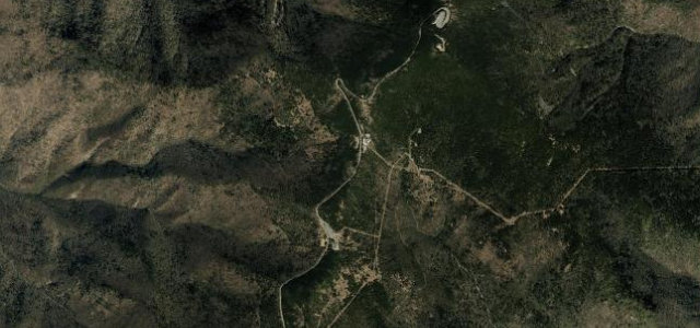
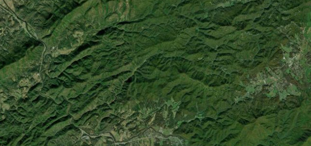
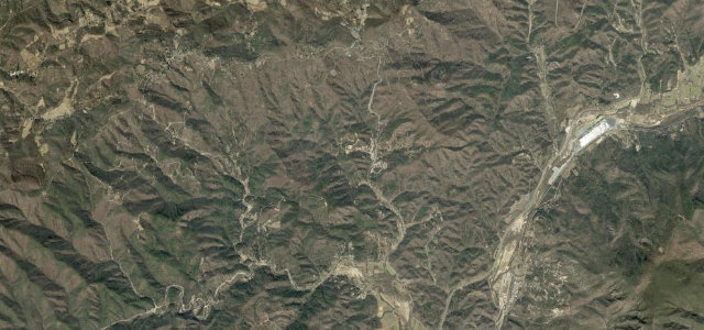
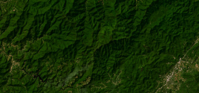
Often overshadowed by its showier neighbours, NC 215 is one of the most rewarding driving roads in western North Carolina precisely because it stays quiet. Climbing south from the Sunburst and Lake Logan area it tightens into a genuinely technical run of switchbacks and blind crests as it gains the crest at Beech Gap, where it crosses the Blue Ridge Parkway near 5,300 feet within sight of Devil’s Courthouse. The surface is narrower and rougher than the Cherohala or the Parkway, with sections shaded and damp under the canopy, and the descent toward Rosman flows through waterfalls and rhododendron. It rewards a measured pace and punishes overconfidence. Mind tight blind switchbacks with no centre line and occasional broken pavement, damp shaded sections and leaf cover that stay slick after rain, and gravel washed onto the road at the hairpins.
Where it runs16.8 mi · point to point
Navigate to the start: Apple Maps · Google Maps
Character
Corners
busiest around mile 12Elevation
under 4%4–8%over 8%862.7 – 1,624.4 mFrom the road
Points of interest3 stops
- Sunburst FallsLandmark4.3 mi in
- Little Wildcat FallsLandmark6.9 mi in
- Pinhook GapViewpoint12 mi in
Hazards
- Tight blind switchbacks with no centre line and broken pavement
- Damp shaded sections and leaf cover slick after rain
- Gravel washed onto the road at hairpins
Sources
“This section of road is popular with tourists and with motorcyclists due to its curvy nature.”
Verified route: mapped from real road geometry and fact-checked by a human editor. How roads get checked
Driving the Balsam Grove: quick answers
How long does it take to drive the Balsam Grove?
How difficult is the Balsam Grove to drive?
When is the best time to drive the Balsam Grove?
Nearby roads
The closest great drives to Balsam Grove.