South Carolina · United States
Cherokee Foothills Scenic Highway
SC 11Lake Hartwell State Park to Gaffney
SC 11 runs about 120 miles along the foot of the Blue Ridge from Lake Hartwell State Park to Gaffney, a National Scenic Byway past lakes, waterfalls and views of Table Rock, Caesars Head and Sassafras Mountain.
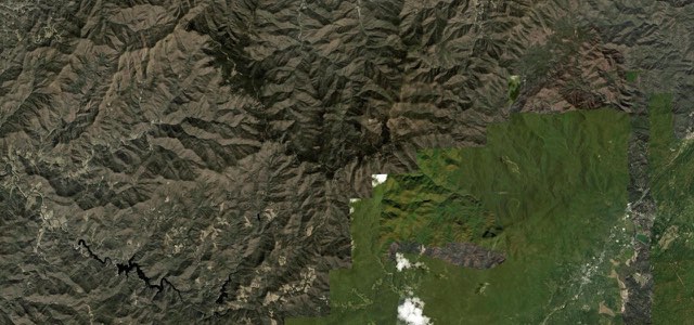
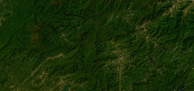
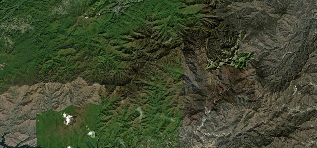
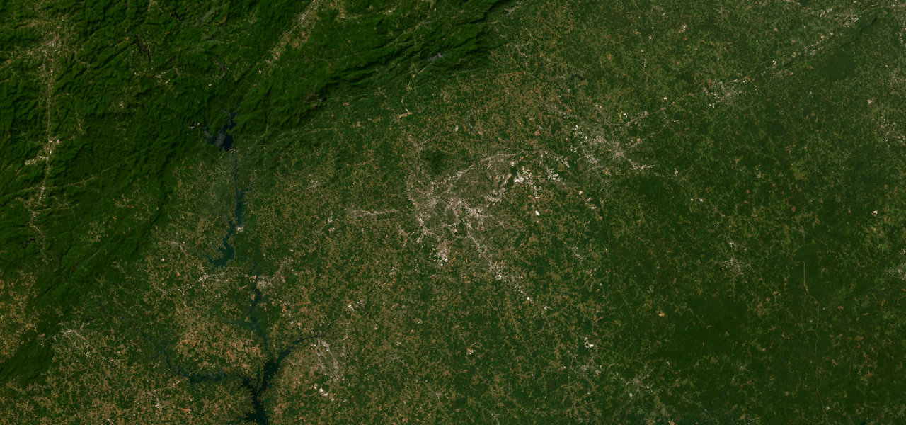
SC 11 starts at I-85 beside Lake Hartwell State Park near the Georgia line and runs north and east through the foothills of the Blue Ridge Mountains in northern Oconee County. In northern Pickens County bridges carry it over Lake Keowee, and it passes Keowee-Toxaway State Park and Table Rock State Park, with views of Table Rock, Hogback, Caesars Head, Glassy and Sassafras mountains. Through Greenville and Spartanburg Counties it crosses rolling country, with the turn-off for Poinsett Bridge signed from the road and farm stands such as Strawberry Hill USA west of Chesnee. East of Chesnee it passes Cowpens National Battlefield and ends at I-85 in Gaffney, below the Peachoid water tower. The National Scenic Byway Foundation puts the byway at 112 miles, while the whole of SC 11 measures nearly 120. It is a gentle, slower-paced alternative to I-85 rather than a technical road.
Scenery
Best seasons
In these collections
In these guides
Cherokee Foothills Scenic Highway on the map119.7 mi · point to point
Navigate to the start: Apple Maps · Google Maps
Character
Corners
busiest around mile 63Elevation
under 4%4 to 8%over 8%213 to 383 mPoints of interest6 stops
- Lake Hartwell State ParkState park by the Georgia line where the highway starts.0.9 mi in
- Keowee-Toxaway State ParkState park with views of the foothills and the Blue Ridge.38 mi in
- Table Rock State Park Visitor CenterVisitor centre for the park named after the granite flat-topped mountain seen from the highway.52 mi in
- Strawberry Hill USAProduce stand, cafe and ice cream parlour about six miles west of Chesnee.99 mi in
- Cowpens National BattlefieldSite of the 1781 American victory over the British, with a walking tour.109 mi in
- PeachoidPeach-shaped water tower beside I-85 at Gaffney, visible from the highway.116 mi in
Hazards
- Heavy leaf-peeping traffic from late October to early November
- Cars pulling in and out of waterfall turnouts and roadside produce stands
- Local commuter and commercial traffic on a working road
Sources
“South Carolina’s nationally designated scenic route, officially known as the Cherokee Foothills National Scenic Highway, starts on the north side of Gaffney before it winds and twists through small towns, rural areas and mountains north of Interstate 85, ending at Lake Hartwell State Park near the Georgia line.”
“In addition to the scenic vistas of Table Rock, Hogback, Caesars Head, Glassy, Sassafras, and numerous smaller mountains, the Cherokee Foothills Scenic Highway passes many of the region’s major waterways.”
“The Cherokee Foothills Scenic Highway winds through South Carolina’s Upcountry, offering a scenic, slower-paced alternative to Interstate 85.”
Route traced from OpenStreetMap, with its stats measured from that line. How the roads are mapped
Driving the Cherokee Foothills Scenic Highway: quick answers
How long does it take to drive the Cherokee Foothills Scenic Highway?
How difficult is the Cherokee Foothills Scenic Highway to drive?
When is the best time to drive the Cherokee Foothills Scenic Highway?
Nearby roads
The closest great drives to Cherokee Foothills Scenic Highway.