Collection
American Scenic Byways
High scenic byways across the United States
Roads12
Combined254 mi409 km of driving
AcrossUnited Statesavg 21 mi
High point3,245 m10,646 ft
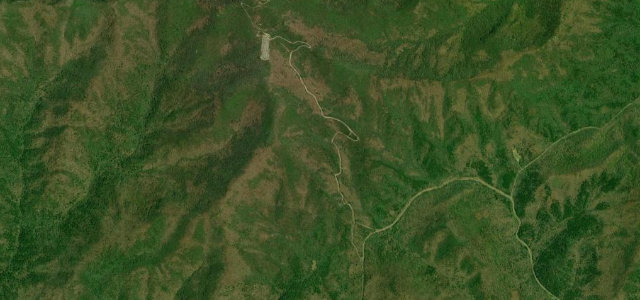
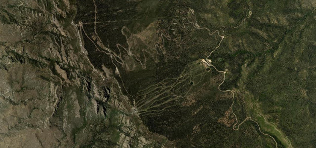
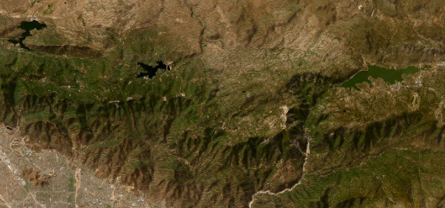
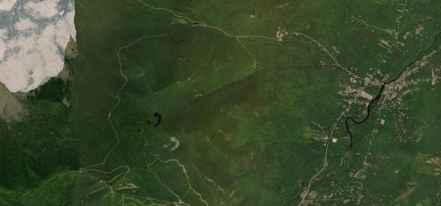
The roads
Sandia Crest Road
Rim of the World Highway
Whiteface Veterans Memorial Highway
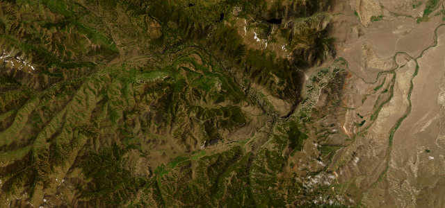
Chief Joseph Scenic Byway
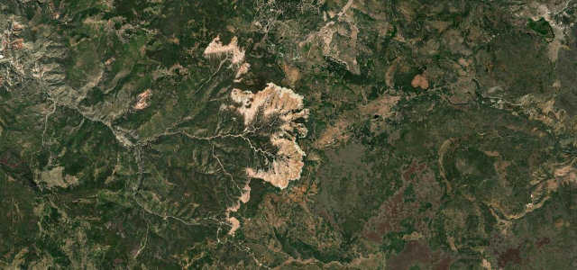
Cedar Breaks Scenic Byway
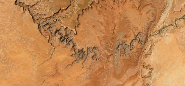
Moki Dugway
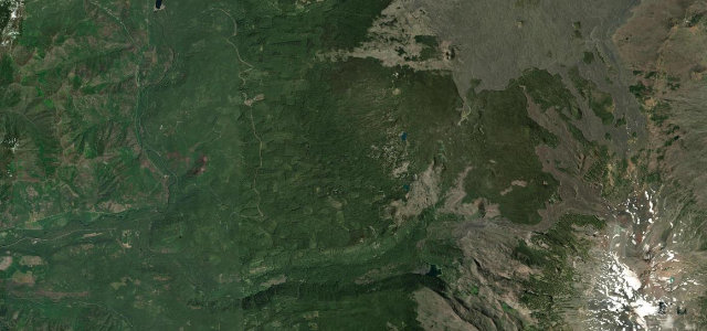
McKenzie Pass
Mount Baker Highway
Ebbetts Pass
Iron Mountain Road
Talimena Scenic Drive