New Mexico · United States
Sandia Crest Road
NM 536Sandia Park to Sandia Crest
A switchback climb to a 10,678 ft crest above Albuquerque.
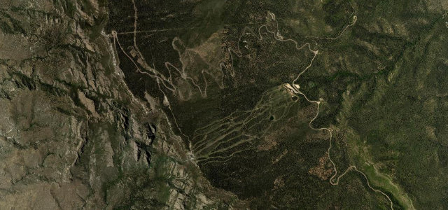
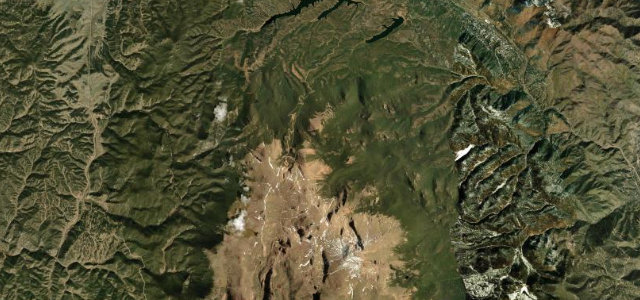
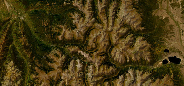
NM 536 climbs the back of the Sandia Mountains to the crest at 10,678 ft, winding up through pine forest to a vast view over Albuquerque and the high desert beyond. Mind the ice and snow in the colder months, the cyclists, and the long descent.
Scenery
MountainForest
Best seasons
SpringSummerAutumn
In these collections
In these guides
Where it runs8.0 mi · point to point
Sandia ParkStart · New Mexico
Sandia CrestEnd · New Mexico
Navigate to the start: Apple Maps · Google Maps
Character
Corners34bends
Tightness5of 10
Max gradient7%≈ 1-in-14
Climb723 mtotal ascent
Summit3,246.5 mhighest point of the line · 10,651 ft
Higher than 9 in 10 roads in the catalogue.
Corners
busiest around mile 4Elevation
under 4%4–8%over 8%2,559.4 – 3,246.5 mFrom the road
Points of interest3 stops
- Madera OverlookViewpoint2.1 mi in
- Upper La Cueva Canyon, La Luz OverlookViewpoint8.0 mi in
- The SentinelViewpoint8.0 mi in
Hazards
- Ice and snow in the colder months
- Cyclists on the climbs
- Long descent
Sources
“The views from the summit looking down at Albuquerque and the surrounding areas are absolutely spectacular.”
Verified route: mapped from real road geometry and fact-checked by a human editor. How roads get checked
Driving the Sandia Crest Road: quick answers
How long does it take to drive the Sandia Crest Road?
Sandia Crest Road runs 8.0 miles (12.9 km) and takes about 16 min to drive without stops.
How difficult is the Sandia Crest Road to drive?
We rate it moderate: 34 corners, a maximum gradient of 7%, and a tightness of 5 out of 10.
When is the best time to drive the Sandia Crest Road?
Spring and Summer and Autumn are best.
Nearby roads
The closest great drives to Sandia Crest Road.
Sandia Crest Road
DirectionsGet the app