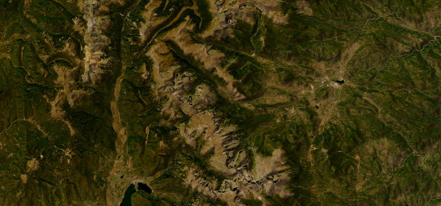
Colorado · United States
Independence Pass
CO 82Aspen to Twin Lakes
A narrow, high crossing of the Continental Divide above Aspen.
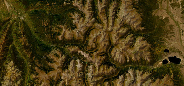
CO 82 climbs over Independence Pass on the Continental Divide above Aspen, topping out above 12,000 ft on a narrow road that pinches to barely a lane in places among the alpine tundra. Open only in the warmer months; mind the altitude, the single-track squeezes with oncoming traffic, and the fast-changing weather.
Scenery
MountainValley
Best seasons
SummerAutumn
In these collections
In these Grand Tours
In these guides
Where it runs37.3 mi · point to point
AspenStart · Colorado
Twin LakesEnd · Colorado
Navigate to the start: Apple Maps · Google Maps
Character
Corners34bends
Tightness7of 10
Max gradient8%≈ 1-in-13
Hairpins3tight bends
Climb1,314 mtotal ascent
Summit3,688.9 mhighest point of the line · 12,103 ft
Higher than 9 in 10 roads in the catalogue.
Corners
busiest around mile 9Elevation
under 4%4–8%over 8%2,407.4 – 3,688.9 mPoints of interest3 stops
- Devil’s PunchbowlViewpoint8.8 mi in
- Independence Ghost Town LookoutViewpoint16 mi in
- Independence Pass Continental DivideViewpoint20 mi in
Hazards
- Single-lane squeezes with oncoming traffic
- High altitude and thin air
- Snow closes it most of the year
Is Independence Pass open? Typical season and live summit weather ›
Sources
“It's full of steep drop-offs, tight curves, and narrow stretches that can fit only one car at a time.”
Verified route: mapped from real road geometry and fact-checked by a human editor. How roads get checked
Driving the Independence Pass: quick answers
How long does it take to drive the Independence Pass?
Independence Pass runs 37.3 miles (60 km) and takes about 1 h 22 min to drive without stops.
How difficult is the Independence Pass to drive?
We rate it demanding: 34 corners including 3 hairpins, a maximum gradient of 8%, and a tightness of 7 out of 10.
When is the best time to drive the Independence Pass?
Summer and Autumn are best. The road closes seasonally over winter; check it has reopened before setting out.
Nearby roads
The closest great drives to Independence Pass.
Independence Pass
DirectionsGet the app