Colorado · United States
Trail Ridge Road
US 34Estes Park to Grand Lake
The highest continuous paved road in the US, over Rocky Mountain National Park.
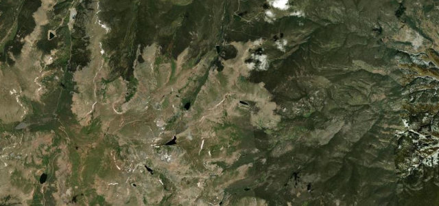
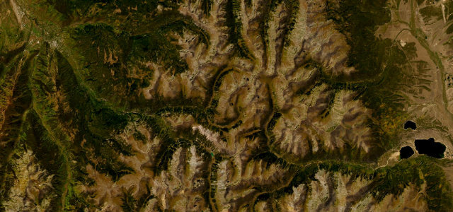
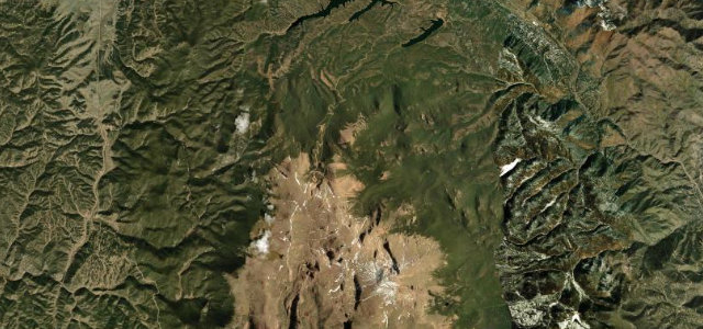
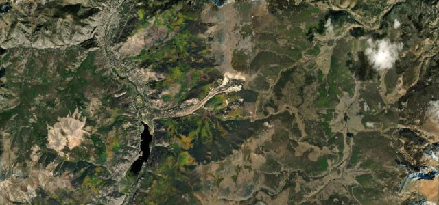
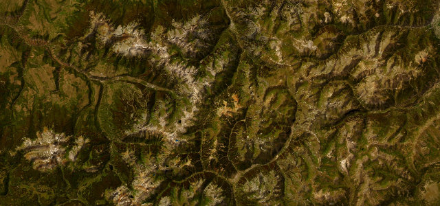
US 34 climbs over the spine of Rocky Mountain National Park between Estes Park and Grand Lake, cresting above 12,000 ft on a long stretch held above the treeline among the tundra and the high peaks. Open only in the warmer months; mind the altitude, the abrupt weather, and the elk and stopping sightseers.
It climbs out of the pines onto open alpine tundra, ridgelines falling away on both sides. Snow shuts it half the year, which only sharpens the brief, luminous window.
Why we picked it
Scenery
Best seasons
In these collections
In these Grand Tours
In these guides
Where it runs47.2 mi · point to point
Navigate to the start: Apple Maps · Google Maps
Character
Higher than 9 in 10 roads in the catalogue.
Corners
busiest around mile 33Elevation
under 4%4–8%over 8%2,307.2 – 3,712.6 mFrom the road
Points of interest3 stops
- Many Parks CurveViewpoint12 mi in
- Rock CutViewpoint21 mi in
- Farview Curve OverlookViewpoint32 mi in
Hazards
- High altitude and thin air
- Sudden mountain storms
- Elk and stopping sightseers
- Closed by snow, roughly mid-October to late May
Is Trail Ridge Road open? Typical season and live summit weather ›
Sources
“Trail Ridge Road is the highest continuous paved road in the United States.”
Verified route: mapped from real road geometry and fact-checked by a human editor. How roads get checked
Driving the Trail Ridge Road: quick answers
How long does it take to drive the Trail Ridge Road?
How difficult is the Trail Ridge Road to drive?
When is the best time to drive the Trail Ridge Road?
Nearby roads
The closest great drives to Trail Ridge Road.