Colorado · United States
Pikes Peak Highway
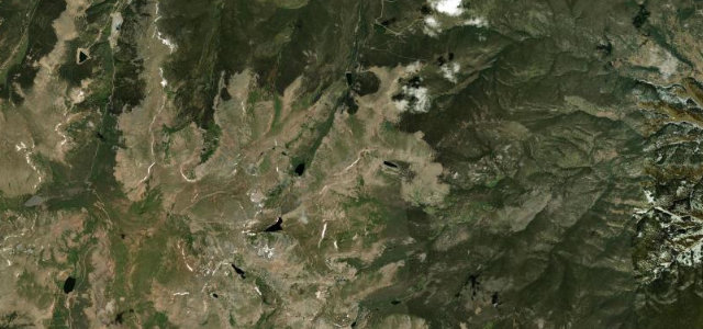
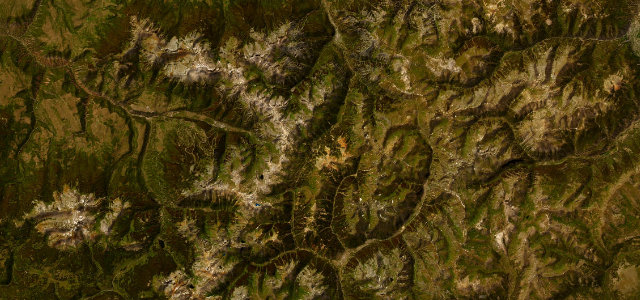
Cascade to Pikes Peak
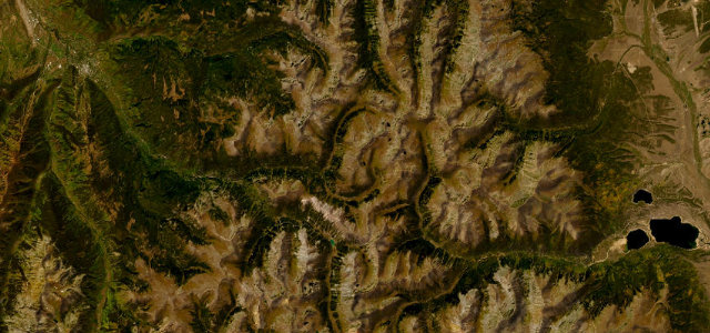
This is the Pikes Peak International Hill Climb course with a toll booth: 19 miles to the 14,115 ft summit, switchbacking above the treeline through the famous Ws. The air runs out before the corners do.
Pikes Peak Highway is a paved toll road in Colorado climbing to the 14,115 ft summit of Pikes Peak, west of Colorado Springs. The upper road switchbacks above the treeline through the famous 'Ws', and shares its alignment with the Pikes Peak International Hill Climb course. Mind the thin air, steep unguarded drops, and mandatory brake checks on the descent.
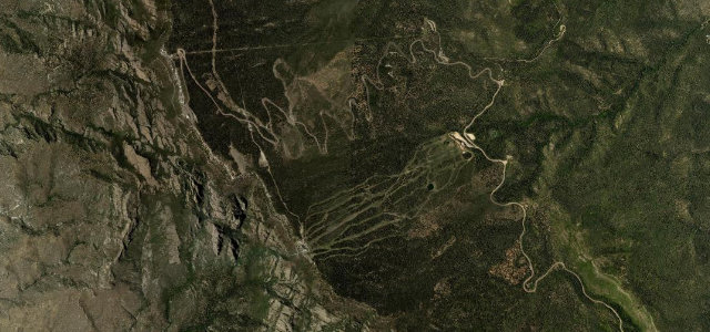
Switchbacks stacked on bare granite, climbing till the trees give up and the air thins. At the top, a hundred miles of plains.
Why we picked it
Scenery
Best seasons
In these collections
In these guides
Where it runs17.5 mi · point to point
Navigate to the start: Apple Maps · Google Maps
Character
Higher than 9 in 10 roads in the catalogue.
Corners
busiest around mile 13Elevation
under 4%4–8%over 8%2,370.5 – 4,298.3 mPoints of interest3 stops
- Pikes PeakViewpoint18 mi in
- Little Pikes PeakViewpoint15 mi in
- Devil’s PlaygroundViewpoint14 mi in
Hazards
- Extreme altitude and thin air
- Unguarded switchback drop-offs
- Brake overheating on descent
Sources
“one of the highest roads in the USA”
Verified route: mapped from real road geometry and fact-checked by a human editor. How roads get checked
Driving the Pikes Peak Highway: quick answers
How long does it take to drive the Pikes Peak Highway?
How difficult is the Pikes Peak Highway to drive?
When is the best time to drive the Pikes Peak Highway?
How much is the toll on the Pikes Peak Highway?
Nearby roads
The closest great drives to Pikes Peak Highway.