South Dakota · United States
Needles Highway
SD 87Custer to Sylvan Lake
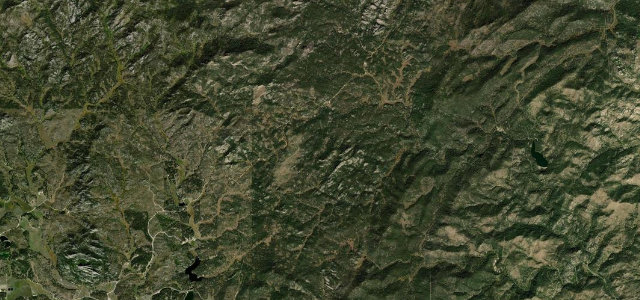
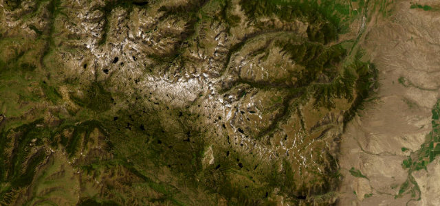
Granite spires and tunnels barely wider than a car, in the Black Hills.
SD 87, the Needles Highway, threads through the granite spires of the Black Hills on a road of tight curves and rock tunnels cut so narrow that larger vehicles can’t pass. It closes over winter; in season, take the tunnels one vehicle at a time, treat every blind bend as occupied, and expect the summer crowds.
Where it runs13.7 mi · point to point
CusterStart · South Dakota
Sylvan LakeEnd · South Dakota
Navigate to the start: Apple Maps · Google Maps
Character
Corners40bends
Tightness7of 10
Max gradient7%≈ 1-in-14
Hairpins2tight bends
Climb627 mtotal ascent
Summit1,955.9 mhighest point of the line · 6,417 ft
Corners
busiest around mile 11Elevation
under 4%4–8%over 8%1,459.5 – 1,955.9 mPoints of interest2 stops
- Iron Creek TunnelNarrow one-lane granite tunnel blasted through the rock, the southernmost of the Needles Highway tunnels7.3 mi in
- Cathedral Spires TrailheadRoadside pullout at a hairpin bend looking up at the Cathedral Spires, a cluster of towering granite pinnacles11 mi in
Hazards
- One-lane rock tunnels
- Sharp blind bends
- Heavy summer traffic
Sources
“From the start, SD 87 is a very twisting and winding route, with a 180° hairpin turn only a one-half mile (800 m) from the southern end.”
Verified route: mapped from real road geometry and fact-checked by a human editor. How roads get checked
Driving the Needles Highway: quick answers
How long does it take to drive the Needles Highway?
Needles Highway runs 13.7 miles (22 km) and takes about 30 min to drive without stops.
How difficult is the Needles Highway to drive?
We rate it moderate: 40 corners including 2 hairpins, a maximum gradient of 7%, and a tightness of 7 out of 10.
When is the best time to drive the Needles Highway?
Spring and Summer and Autumn are best.
Nearby roads
The closest great drives to Needles Highway.
Needles Highway
DirectionsGet the app