Montana · United States
Beartooth Highway
US 212Red Lodge to Cooke City
Switchbacks to nearly 11,000 ft on the Montana–Wyoming line.
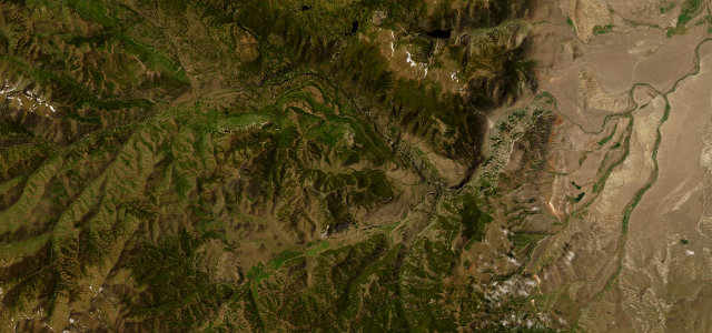
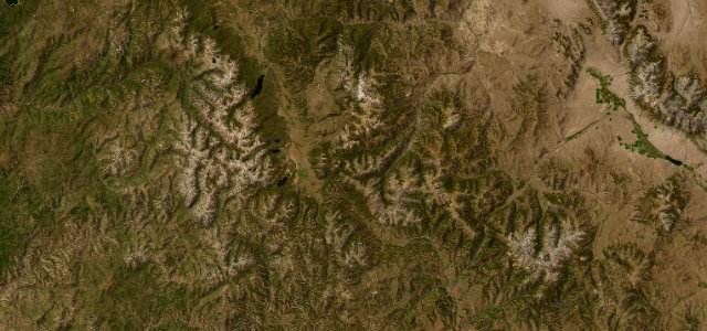
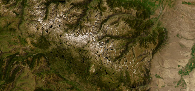
The US 212 Beartooth Highway climbs in dramatic switchbacks to the Beartooth Pass at 3,337 m between Red Lodge and the Yellowstone gate at Cooke City, a high, wild plateau of tundra, lakes and lingering snow. Open only in summer; mind the altitude, the fast-changing weather, and the long climbs.
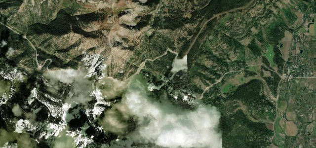
Switchbacks stack in tight tiers, then the trees fall away and you crest into snowfields and tundra. Time it for the short summer window.
Why we picked it
Scenery
Best seasons
In these collections
In these Grand Tours
In these guides
Where it runs64.0 mi · point to point
Navigate to the start: Apple Maps · Google Maps
Character
Higher than 9 in 10 roads in the catalogue.
Corners
busiest around mile 29Elevation
under 4%4–8%over 8%1,696.9 – 3,338.3 mFrom the road
Points of interest3 stops
- Pilot-Index overlookViewpoint43 mi in
- Crazy CreekViewpoint53 mi in
- Pilot & IndexViewpoint55 mi in
Hazards
- High altitude and thin air
- Snow and storms even in summer
- Long unguarded climbs
- Closed by snow, roughly mid-October to late May
Is Beartooth Highway open? Typical season and live summit weather ›
Sources
“dubbed 'the most beautiful drive in America.'”
Verified route: mapped from real road geometry and fact-checked by a human editor. How roads get checked
Driving the Beartooth Highway: quick answers
How long does it take to drive the Beartooth Highway?
How difficult is the Beartooth Highway to drive?
When is the best time to drive the Beartooth Highway?
Nearby roads
The closest great drives to Beartooth Highway.