Wyoming · United States
Teton Pass
WY 22Wilson to Victor
Steep hairpin climb between Jackson and Teton Valley.
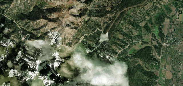
WY 22 crosses Teton Pass at 8,431 feet between Wilson, Wyoming and the Idaho line. The paved highway carries notably steep sustained grades, with hairpins and a slope section rebuilt after a June 2024 landslide. Mind the ten percent grades, avalanche zones, and winter trailer bans.
Where it runs7.3 mi · point to point
WilsonStart · Wyoming
VictorEnd · Wyoming
Navigate to the start: Apple Maps · Google Maps
Character
Corners18bends
Tightness6of 10
Max gradient10%≈ 1-in-10
Climb680 mtotal ascent
Summit2,570.3 mhighest point of the line · 8,433 ft
Corners
busiest around mile 7Elevation
under 4%4–8%over 8%1,890.4 – 2,570.3 mFrom the road
Points of interest1 stop
- Teton PassViewpoint5.3 mi in
Hazards
- Sustained ten percent grades
- Avalanche slide paths
- Winter closures and trailer bans
See the typical season and live conditions for the high passes ›
Sources
“Set high at the southern end of the Teton Range, the road to the summit is paved with sharp turns.”
Verified route: mapped from real road geometry and fact-checked by a human editor. How roads get checked
Driving the Teton Pass: quick answers
How long does it take to drive the Teton Pass?
Teton Pass runs 7.3 miles (11.7 km) and takes about 15 min to drive without stops.
How difficult is the Teton Pass to drive?
We rate it demanding: 18 corners, a maximum gradient of 10%, and a tightness of 6 out of 10.
When is the best time to drive the Teton Pass?
Summer and Autumn are best.
Nearby roads
The closest great drives to Teton Pass.
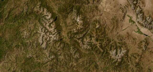
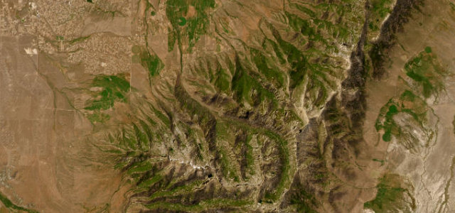
Teton Pass
DirectionsGet the app